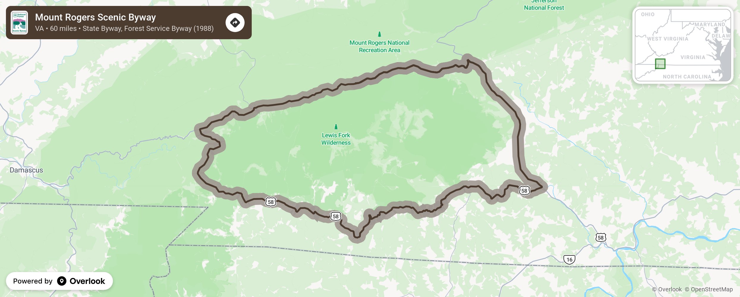
Along the Tennessee and North Carolina border, this byway is in 2 sections through the Mount Rogers National Recreational Area. Section 1: Travel 13.2 miles west from Troutdale to Konnarock on Virginia Route 603. Section 2: Travel east. 32.5 miles from Damascus to Volney on US Route 58. If taken as a loop it is 60 miles and takes 3 hours.
More from National Scenic Byway Foundation →
Embed this map on your site
You are welcome to add this map to your own website for free, as long as you do so using the below code snippet in its entirety.