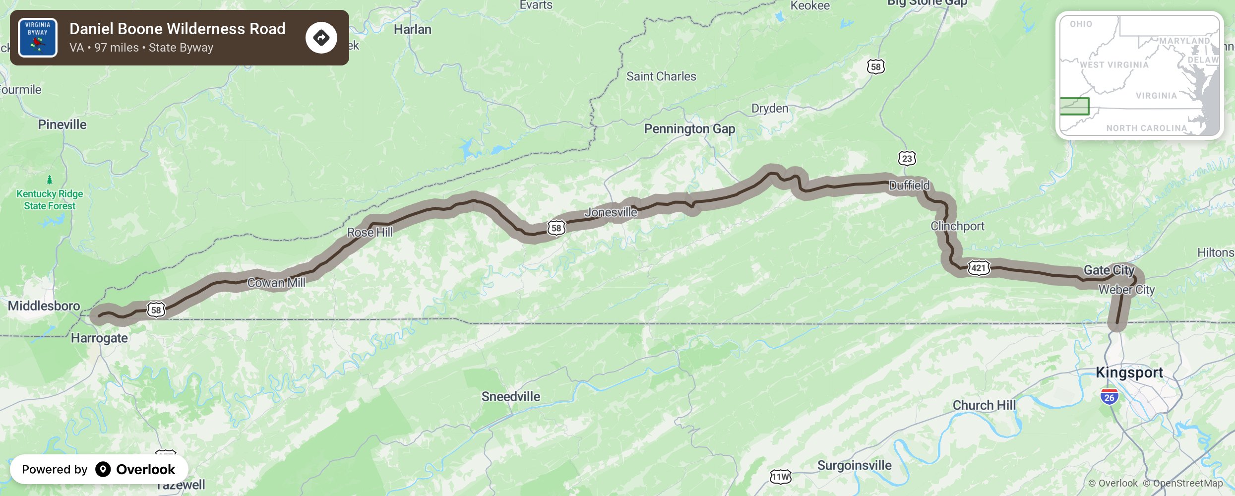
Daniel Boone Wilderness Road

The Daniel Boone Wilderness Trail was the first road over the Cumberland Gap. It was used by Native Americans to connect the Cherokee in the Great Smoky Mountains with the Shawnee in Ohio, naming it “Warrior’s Path”. Daniel Boone was commissioned to open a path (or trace) over the Cumberland Gap. He improved the path to accommodate wagon trains. Over 200,00 pioneers traveled this route from the East to Kentucky. The route starts in Bristol, Virginia and dips into Tennessee briefly before making its way westward along the Tennessee border and through the communities of Gate City, Clinchport, and Rose Hill before ending near the town of Cumberland Gap, TN and the Cumberland Gap National Historic Park near Middlesboro, KY. More from National Scenic Byway Foundation →
Embed this map on your site
You are welcome to add this map to your own website for free, as long as you do so using the below code snippet in its entirety.
Please get in touch with us if you have any questions!
      <iframe src="https://overlookmaps.com/byways/va-daniel-boone-wilderness-road"></iframe>
    <a href="https://overlookmaps.com/">Map courtesy of Overlook Maps</a>