The Energy Loop Huntington/Eccles Canyons Scenic Byway
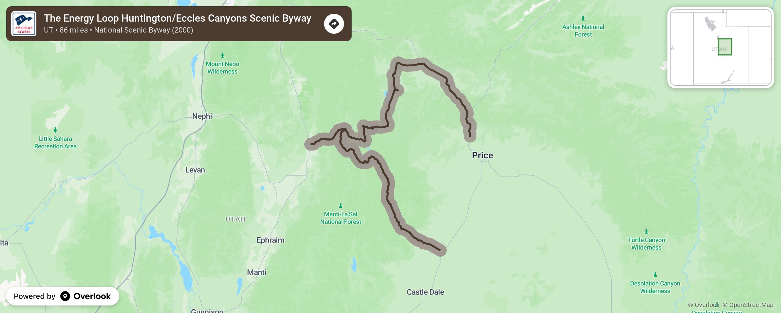
The Energy Loop: Huntington/Eccles Canyons Scenic Byway winds across the Manti-La Sal National Forest, rising up to 10,000 feet above sea level. Explore the rich history of industrial development as you view coal mining operations, historic mining towns, and coal-fired power plants. Nearby Sanpete Valley contains some of the best-preserved Mormon Pioneer settlements in existence.
More from National Scenic Byway Foundation →
Embed this map on your site
You are welcome to add this map to your own website for free, as long as you do so using the below code snippet in its entirety.