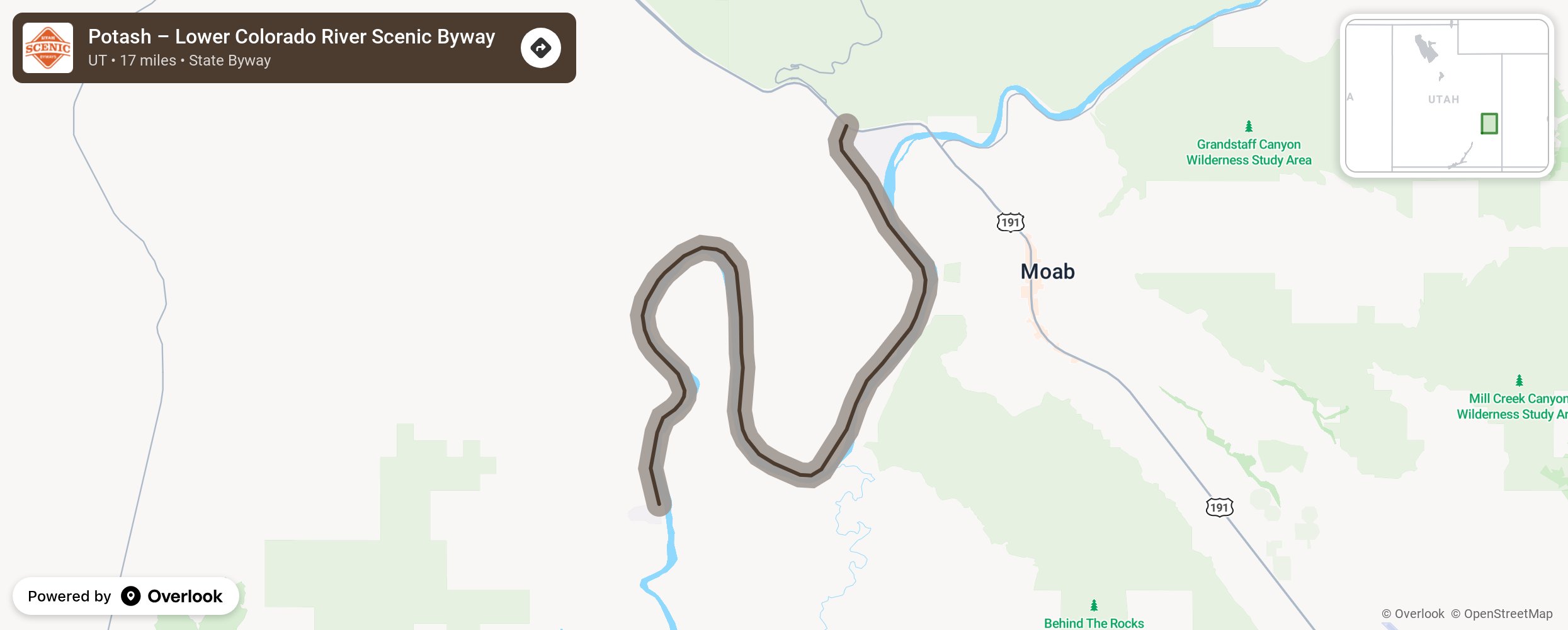
Potash – Lower Colorado River Scenic Byway

South of Moab, this byway runs between the Colorado River and towering sandstone cliffs. Two miles into the drive, stop at the pull-off to view the Moab valley and the area’s red rocks. Along the route, enjoy the lush canyons, dinosaur tracks, ancient rock art, arches, and the many climbing routes in the Wall Street climbing area. Watch for climbers scattered along the rock walls at all times of the year. There are also many trails for all hiking skill levels. More from National Scenic Byway Foundation →
Embed this map on your site
You are welcome to add this map to your own website for free, as long as you do so using the below code snippet in its entirety.
Please get in touch with us if you have any questions!
      <iframe src="https://overlookmaps.com/byways/ut-potash-lower-colorado-river-scenic-byway-u-279"></iframe>
    <a href="https://overlookmaps.com/">Map courtesy of Overlook Maps</a>