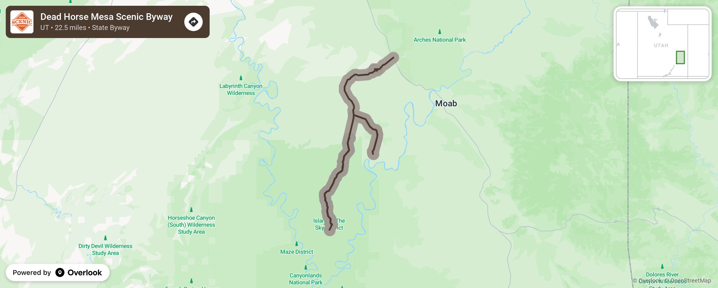
Dead Horse Mesa Scenic Byway

The Dead Horse Mesa Scenic Byway is the gateway to the Canyonlands National Park and Dead Horse Point State Park. Views include the La Sal Mountains to the east, the Abajo Mountains to the south, the Henry Mountains to the west, and the Bookcliffs to the north. Enjoy the scenery and stop for the many family-friendly activities such as the Moab Giants Dinosaur Park, Cliffline Viewpoint, Seven Mile Canyon, and Dead Horse Overlook Trail with its panoramic view of the world. More from National Scenic Byway Foundation →
Embed this map on your site
You are welcome to add this map to your own website for free, as long as you do so using the below code snippet in its entirety.
Please get in touch with us if you have any questions!
      <iframe src="https://overlookmaps.com/byways/ut-dead-horse-mesa-scenic-byway"></iframe>
    <a href="https://overlookmaps.com/">Map courtesy of Overlook Maps</a>