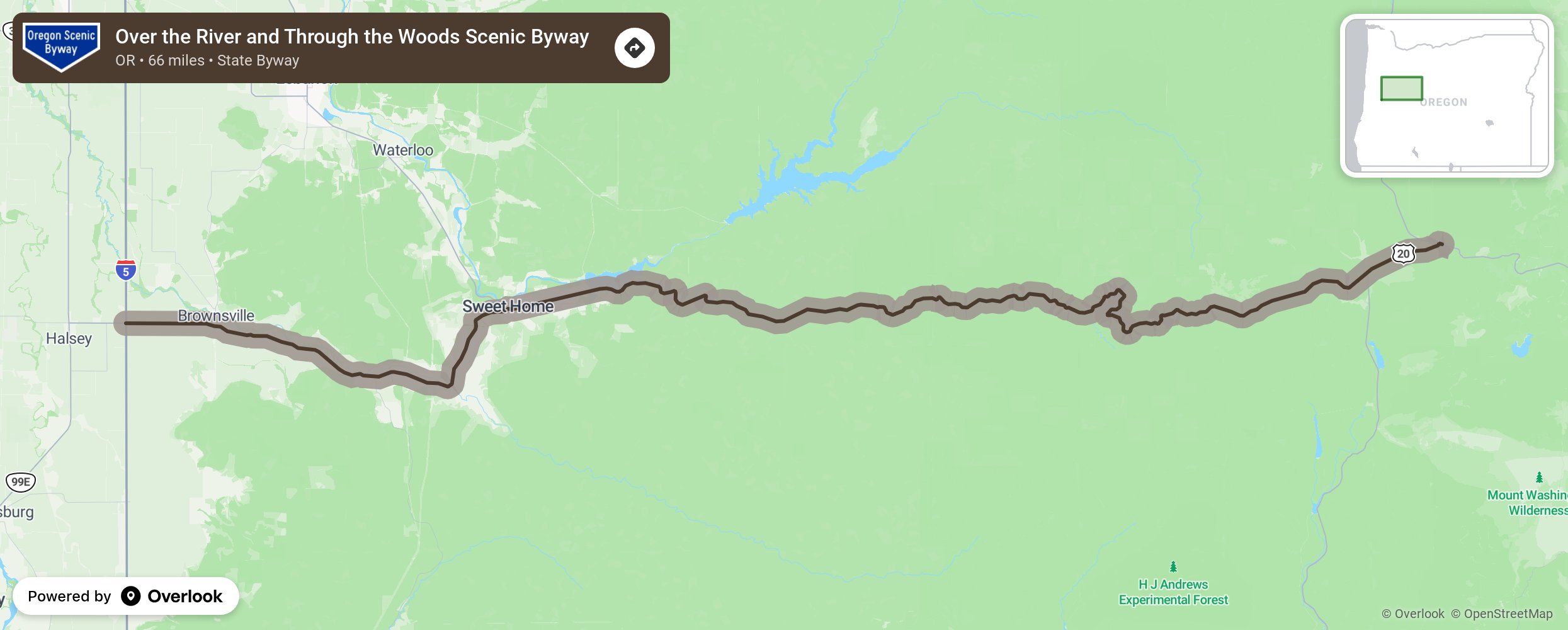
Over the River and Through the Woods Scenic Byway

Travelers get a sampling of Oregon’s diversity along this byway, climbing through five ecosystems on its route from the Willamette Valley to the West Cascade Mountains. The grassy fields outside Brownsville attract large numbers of tundra swans and bald eagles each winter. The byway follows OR-228 toward Crawfordsville, where the 105-foot 2 Crawfordsville Covered Bridge, built in 1932, spans the Calapooia River. Near the small logging town of Holley, which dates back to 1847, the byway bends north toward Sweet Home and meets US-20. More from National Scenic Byway Foundation →
Embed this map on your site
You are welcome to add this map to your own website for free, as long as you do so using the below code snippet in its entirety.
Please get in touch with us if you have any questions!
      <iframe src="https://overlookmaps.com/byways/or-over-the-rivers-through-the-woods-scenic-byway"></iframe>
    <a href="https://overlookmaps.com/">Map courtesy of Overlook Maps</a>