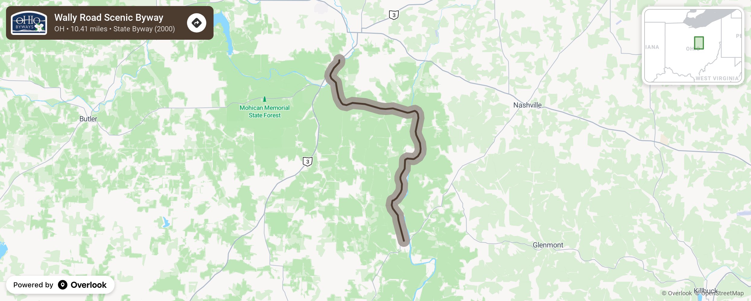
Wally Road Scenic Byway

The scenic beauty of the forested hilltops, deep ravines, wetlands and rich soil bottom lands of the Mohican and Walhonding valleys was restricted to a few river travelers and remote villages before the Toledo, Walhonding Valley and Ohio Railroad (the "Wally") opened a 45-mile connecting route from Coshocton to Loudonville in 1892. This route was considered one of the most scenic train rides in Ohio. The railroad ceased operations in 1942, but part of the route lives on as the Wally Road byway. More from National Scenic Byway Foundation →
Embed this map on your site
You are welcome to add this map to your own website for free, as long as you do so using the below code snippet in its entirety.
Please get in touch with us if you have any questions!
      <iframe src="https://overlookmaps.com/byways/oh-wally-road-scenic-byway"></iframe>
    <a href="https://overlookmaps.com/">Map courtesy of Overlook Maps</a>