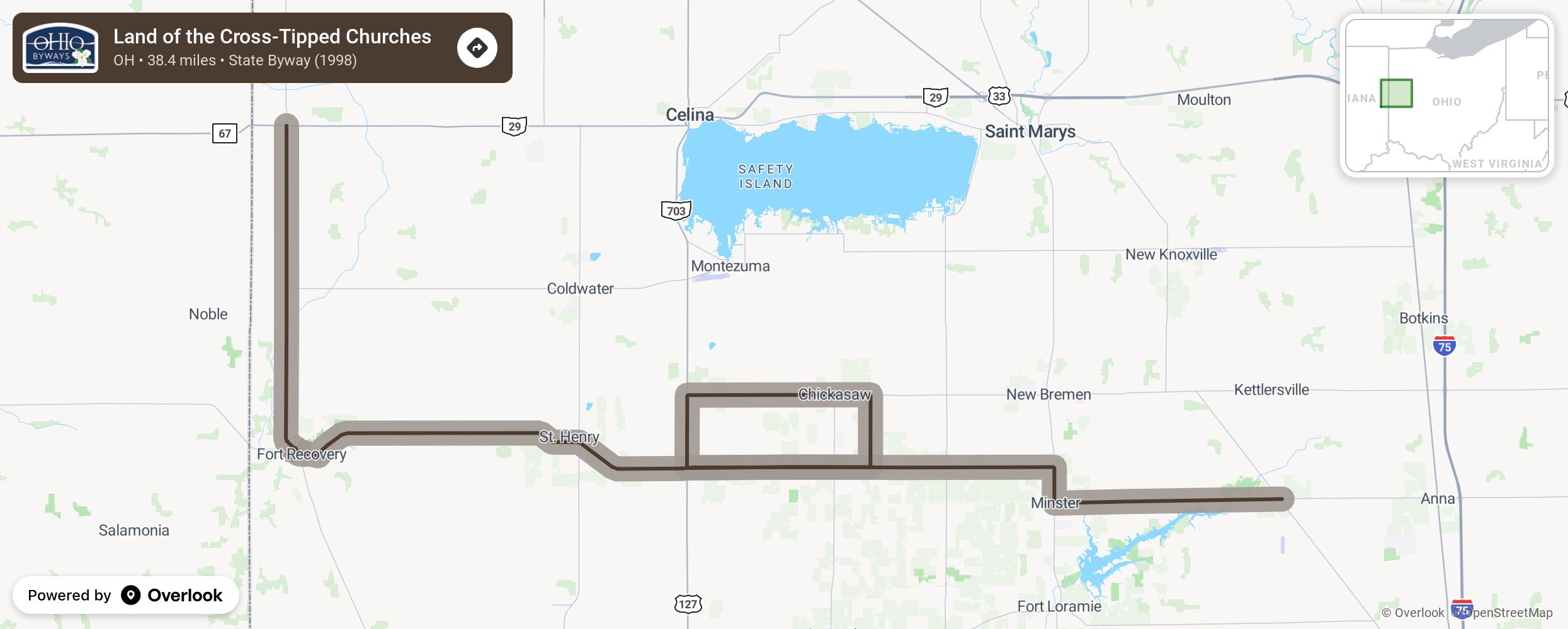
Land of the Cross-Tipped Churches

The Land of the Cross-Tipped Churches Byway travels through Shelby, Auglaize and Mercer counties, beginning in McCartyville. It then travels along State Route 119 to Fort Recovery, and proceeds north along State Route 49 until it ends at State Route 29 west of Wabash. This 38.4-mile long scenic route encompasses many of the grand historical aspects of the early settlers of the region. An array of cross-tipped churches can be viewed endlessly as one travels through this virtually level farming region. These structures were entered into the National Register of Historic Places in 1979. More from National Scenic Byway Foundation →
Embed this map on your site
You are welcome to add this map to your own website for free, as long as you do so using the below code snippet in its entirety.
Please get in touch with us if you have any questions!
      <iframe src="https://overlookmaps.com/byways/oh-land-of-the-cross-tipped-churches-scenic-byway"></iframe>
    <a href="https://overlookmaps.com/">Map courtesy of Overlook Maps</a>