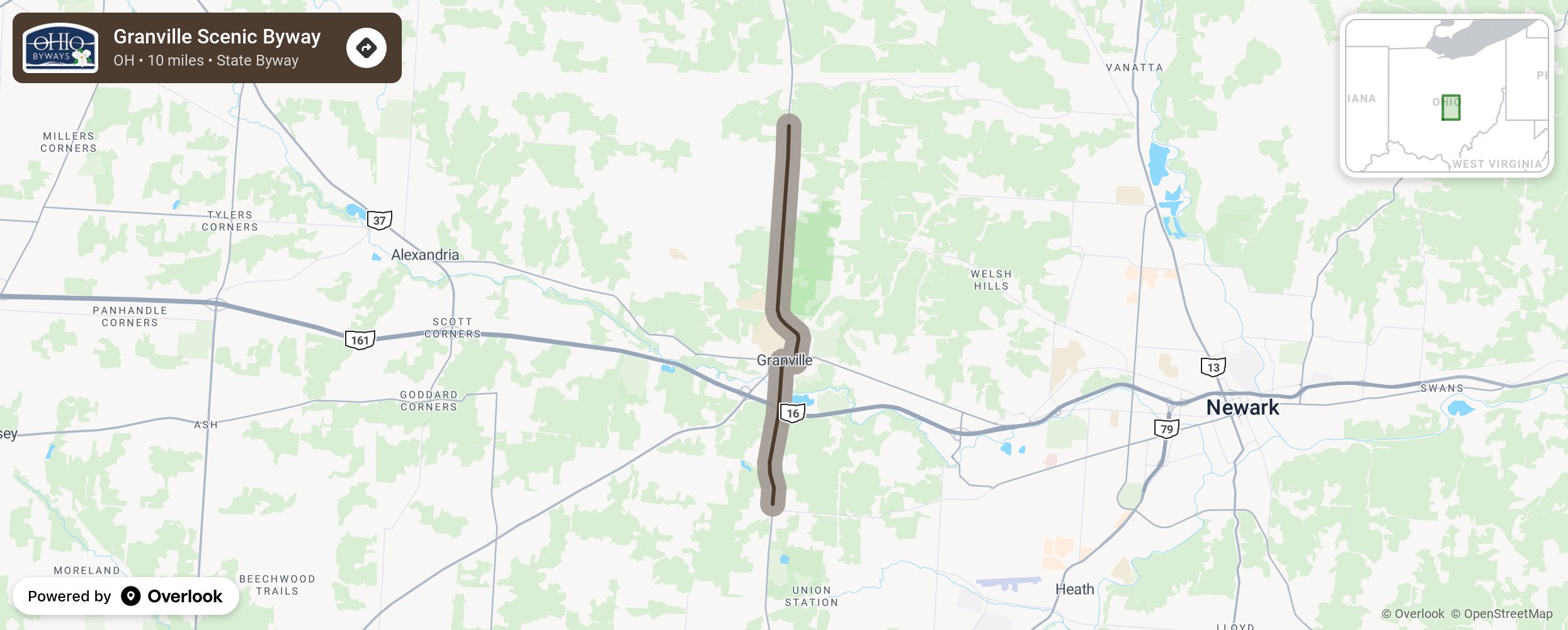
Granville Scenic Byway

Granville Scenic Byway, an approximately 10 mile route, begins at State Route 37, intersects with James Road and continues north onto State Route 661 through the Village of Granville along the eastern campus of Denison University. It ends 1/4 mile north of Cambria Road at the north boundary of Granville Township. Byway attractions include rolling hills, scenic farms, ancient burial grounds, pleasant residential districts and Denison University, an independent college on a beautiful campus with a mixture of historic and contemporary buildings. The main attraction, at the center of the byway, is the Village of Granville, a charming place designed by early settlers from Connecticut and Massachusetts to resemble a New England town. Byway travelers are encouraged to park and discover Buxton Inn, opened in 1812, and Granville Inn, opened in 1924, both listed on the National Register of Historic Places. In additon to historic inns, Granville offers byway travelers unique and specialty item shops, restaurants and galleries. More from National Scenic Byway Foundation →
Embed this map on your site
You are welcome to add this map to your own website for free, as long as you do so using the below code snippet in its entirety.
Please get in touch with us if you have any questions!
      <iframe src="https://overlookmaps.com/byways/oh-granville-scenic-byway"></iframe>
    <a href="https://overlookmaps.com/">Map courtesy of Overlook Maps</a>