Western New York Southtowns Scenic Byway

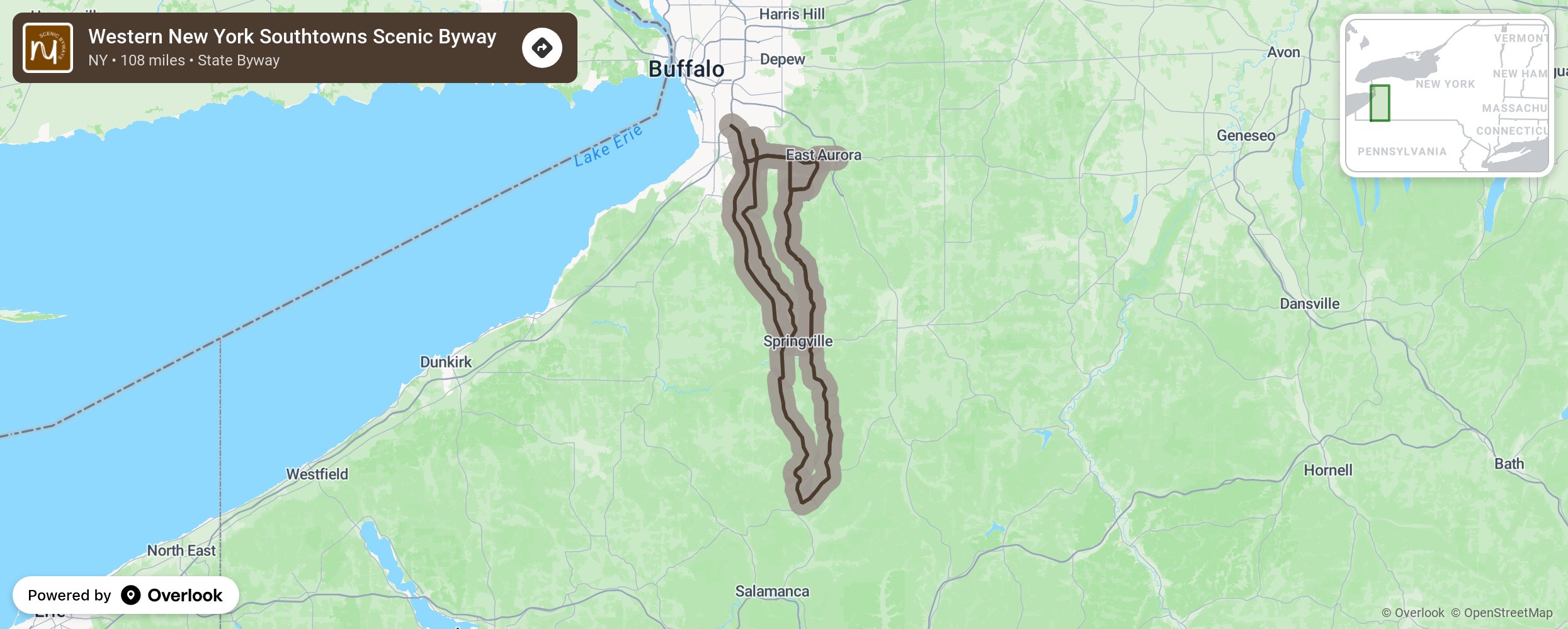
Situated southeast of metropolitan Buffalo, the Western New York Southtowns are graced with a series of highways brought together under the banner of the Western New York Southtowns Scenic Byway to unite Erie and Cattaraugus Counties, and numerous towns and villages, into a regional attraction for tourists and the citizens of the area. The Byway forms a 108-mile scenic loop that runs from the towns of Orchard Park and Aurora south through Boston, Colden, and Concord. Recent New York State legislation approved its extension through Ashford and Ellicottville, terminating at the southern Ellicottville town line. More from National Scenic Byway Foundation →
Embed this map on your site
You are welcome to add this map to your own website for free, as long as you do so using the below code snippet in its entirety.
Please get in touch with us if you have any questions!
      <iframe src="https://overlookmaps.com/byways/ny-western-new-york-southtowns-scenic-byway"></iframe>
    <a href="https://overlookmaps.com/">Map courtesy of Overlook Maps</a>