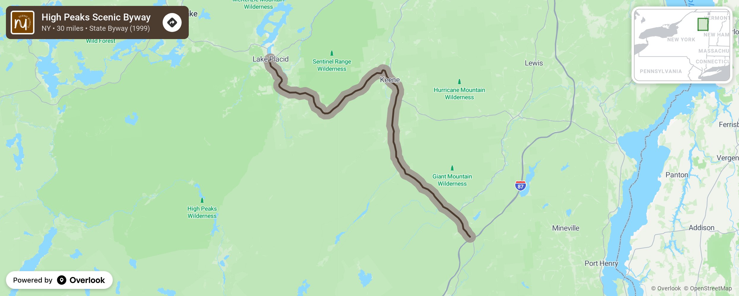
High Peaks Scenic Byway

The High Peaks Scenic Byway winds past the Adirondacks' highest peaks and along some of its most picturesque waters, including Chapel Pond, Johns Brook, Roaring Brook Falls and the Cascade Lakes. There are over 40 high peaks in the Adirondack Park that are over 4,000 feet in elevation. The Byway carries more than four million travelers annually through spectacular mountain passes and river valleys, verdant forests and hamlets with long and proud pasts. The byway provides a gateway to unsurpassed recreational access points to the High Peaks of the Adirondacks for hiking, boating, canoeing, biking, rock climbing, fishing, white water rafting, sightseeing, cross country skiing. More from National Scenic Byway Foundation →
Embed this map on your site
You are welcome to add this map to your own website for free, as long as you do so using the below code snippet in its entirety.
Please get in touch with us if you have any questions!
      <iframe src="https://overlookmaps.com/byways/ny-high-peaks-scenic-byway-nys-route-73"></iframe>
    <a href="https://overlookmaps.com/">Map courtesy of Overlook Maps</a>