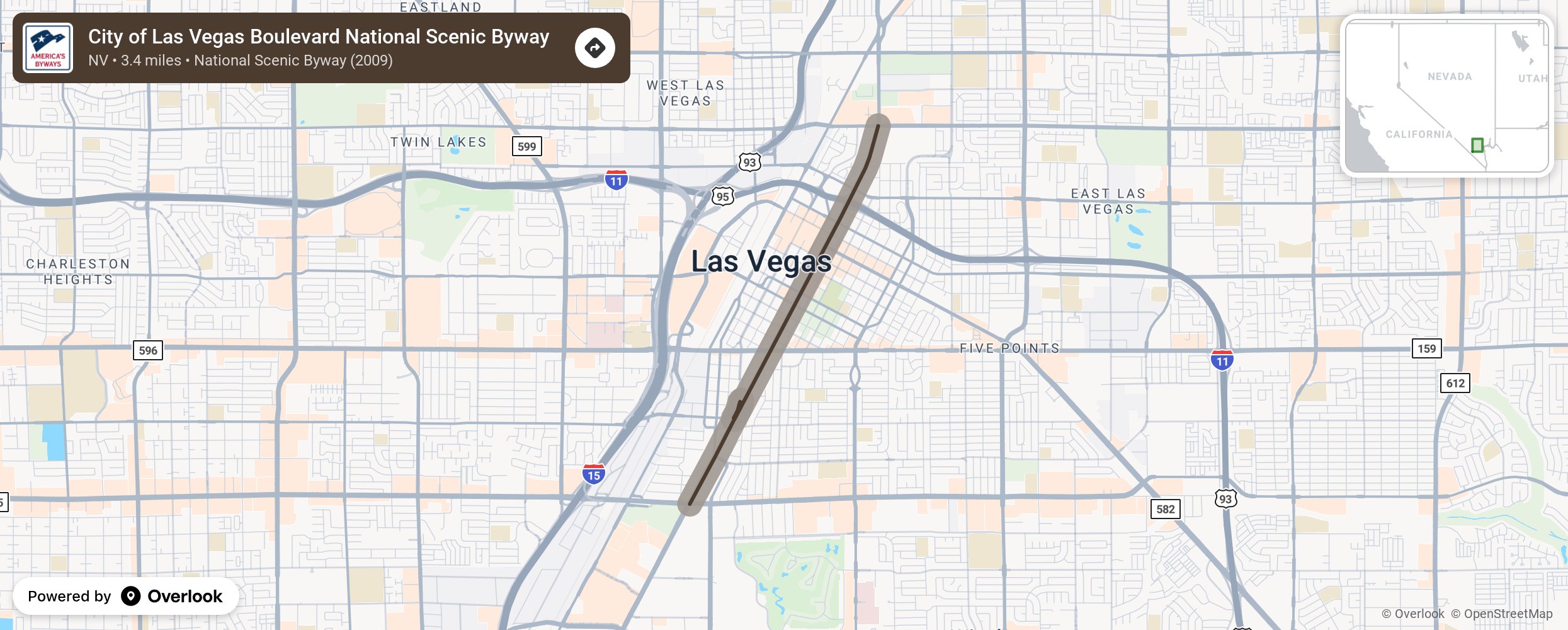
Where Las Vegas Strip All-American Road ends at Sahara Avenue, the City of Las Vegas Boulevard National Scenic Byway begins and extends north 3.4 miles to Washington Avenue. This portion of Las Vegas Boulevard is part of the original Las Vegas Strip, where the city's first hotels and casinos were established in the early to mid-20th century. It played a pivotal role in the city's growth as a gambling and entertainment hub.
More from National Scenic Byway Foundation →
Embed this map on your site
You are welcome to add this map to your own website for free, as long as you do so using the below code snippet in its entirety.