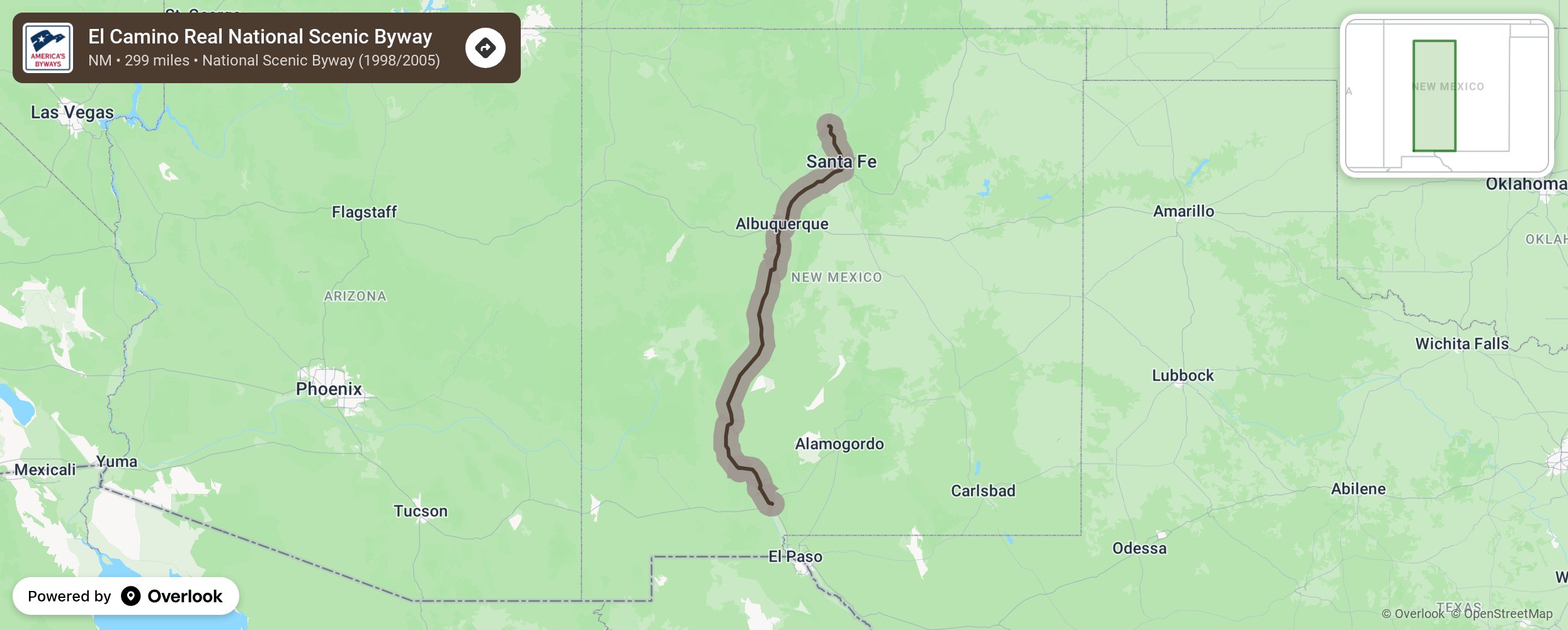
El Camino Real National Scenic Byway

Route 66 may be New Mexico’s best-known signature highway but, centuries earlier, El Camino Royal de Tierra Adentro, The Royal Road to the Interior, threaded 1,500 miles northward from Zacatecas, Mexico to the far edges of known Spanish world. Our country’s oldest and most continually used “highway,” the Camino Real brought European colonists to New Spain 22 years before the Pilgrims arrived at Plymouth Rock. Follow the royal purple signs along the Camino, which traveled much the same route as I-25 does today, from the southern edge of New Mexico to Santa Fe. There, the Camino Real veers off toward its eventual terminus, near what is Ohkay Owingeh Pueblo today. More from National Scenic Byway Foundation →
Embed this map on your site
You are welcome to add this map to your own website for free, as long as you do so using the below code snippet in its entirety.
Please get in touch with us if you have any questions!
      <iframe src="https://overlookmaps.com/byways/nm-el-camino-real"></iframe>
    <a href="https://overlookmaps.com/">Map courtesy of Overlook Maps</a>