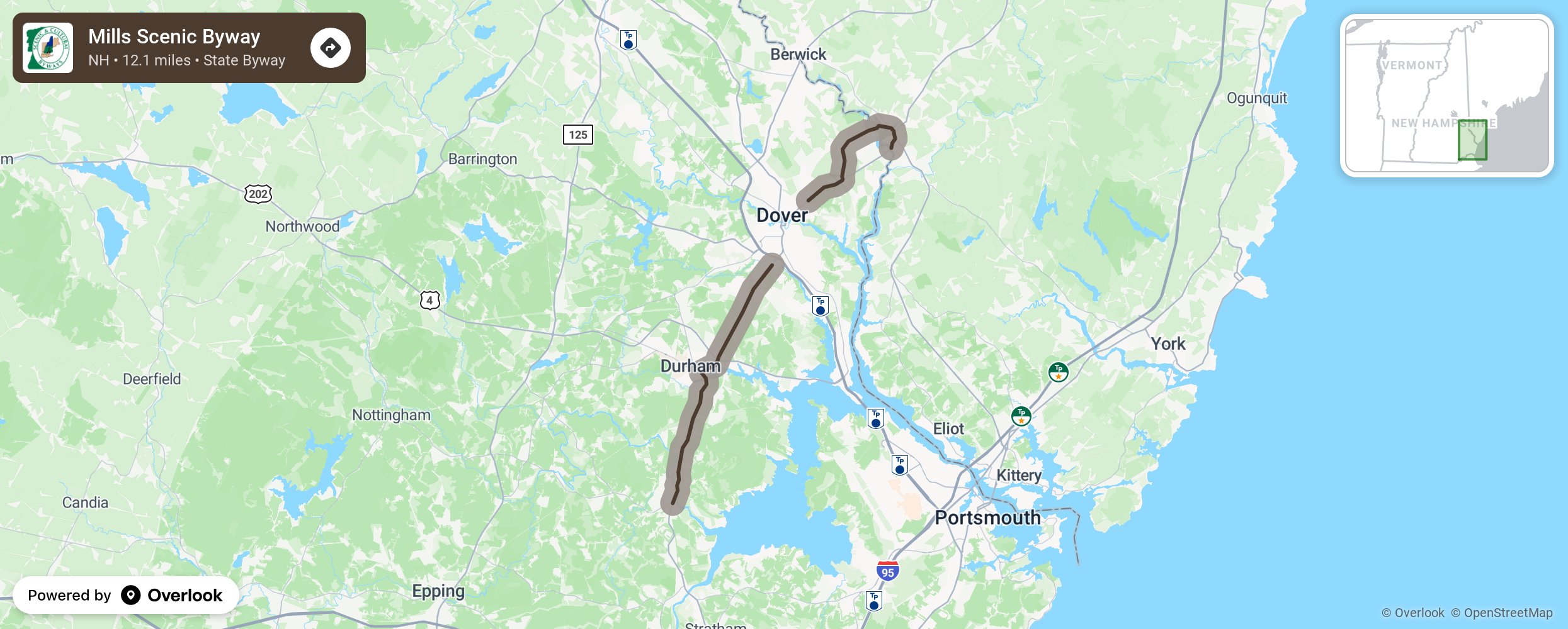
Mills Scenic Byway

The Mills Scenic Byway is 12.1-mile loop that runs through the communities of Rollinsford, Madbury, Durham, and Newmarket. The Mills Scenic Byway offers a clear depiction of small yet vital communities, located along the coastal shores of the Lamprey, Oyster, Bellamy, Salmon Falls, and Cocheco Rivers while retaining the character and historical appeal of historic mill towns. The Byway offers panoramic views of rolling open hills bordered by forest land and stone walls cut through by brooks and low-lying wetland marshes, views of pristine farmland that open up to downtown historic districts peppered with white church steeples, old mill buildings, river frontage, and park areas with access for nature walks and other recreational activities. These charming scenes paint an illustration of New England river towns that possess a historical past that have seen a steady transformation from early sawmills to a thriving textile industry, which has in turn given way to dozens of smaller businesses. More from National Scenic Byway Foundation →
Embed this map on your site
You are welcome to add this map to your own website for free, as long as you do so using the below code snippet in its entirety.
Please get in touch with us if you have any questions!
      <iframe src="https://overlookmaps.com/byways/nh-mills-scenic-byway"></iframe>
    <a href="https://overlookmaps.com/">Map courtesy of Overlook Maps</a>