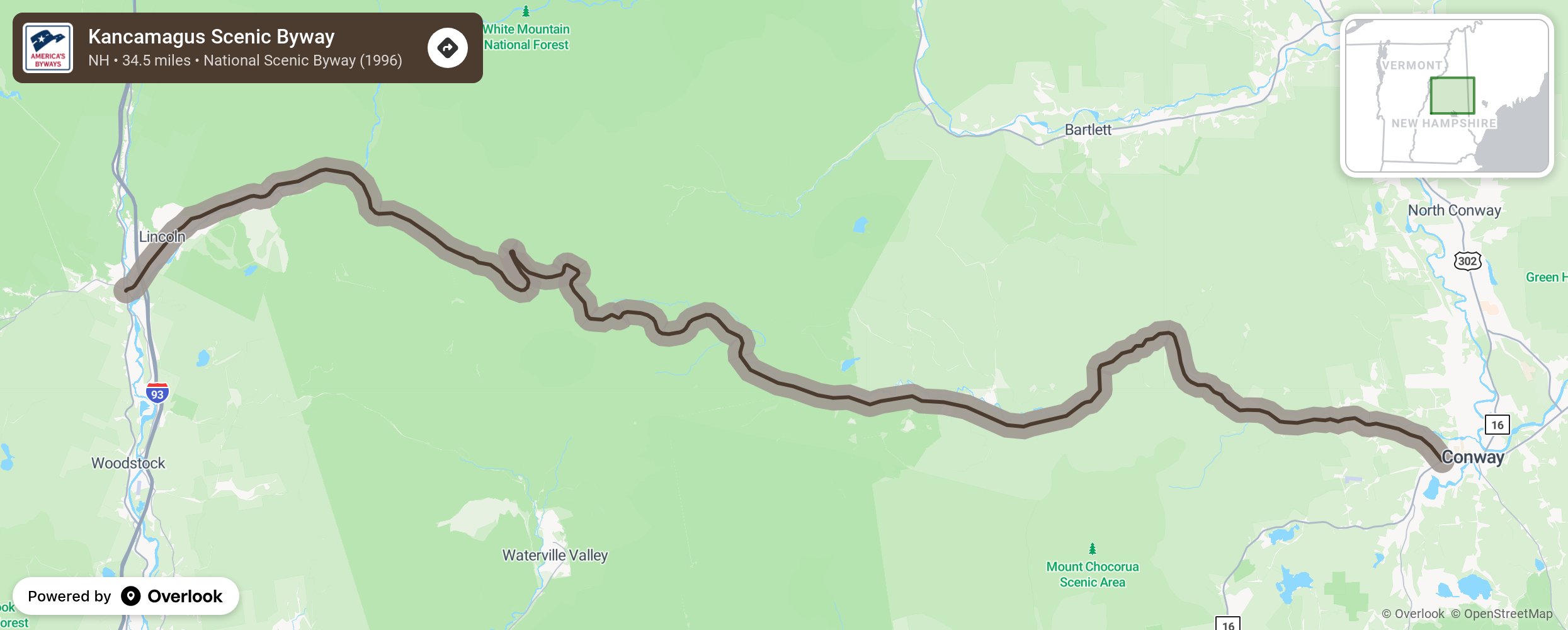
Kancamagus Scenic Byway

The Kancamagus National Scenic Byway, also known as the Kancamagus Highway, stretches, winds, rises and falls across the White Mountain National Forest for 34.5 miles. This scenic road, with hairpin turns, climbs to nearly 3,000 feet as it winds around Mt. Kancamagus, but is still safe for RV’s. The Kancamagus, or the ‘Kanc’ to the locals, was the first National Scenic Byway designated in the Northeastern United States for its nationally significant scenic views. The fall colors during leaf peeping season, with breathtaking views of the Osceola Range in the White Mountain National Forest, are considered to be the best in the world. More from National Scenic Byway Foundation →
Embed this map on your site
You are welcome to add this map to your own website for free, as long as you do so using the below code snippet in its entirety.
Please get in touch with us if you have any questions!
      <iframe src="https://overlookmaps.com/byways/nh-kancamagus-scenic-byway"></iframe>
    <a href="https://overlookmaps.com/">Map courtesy of Overlook Maps</a>