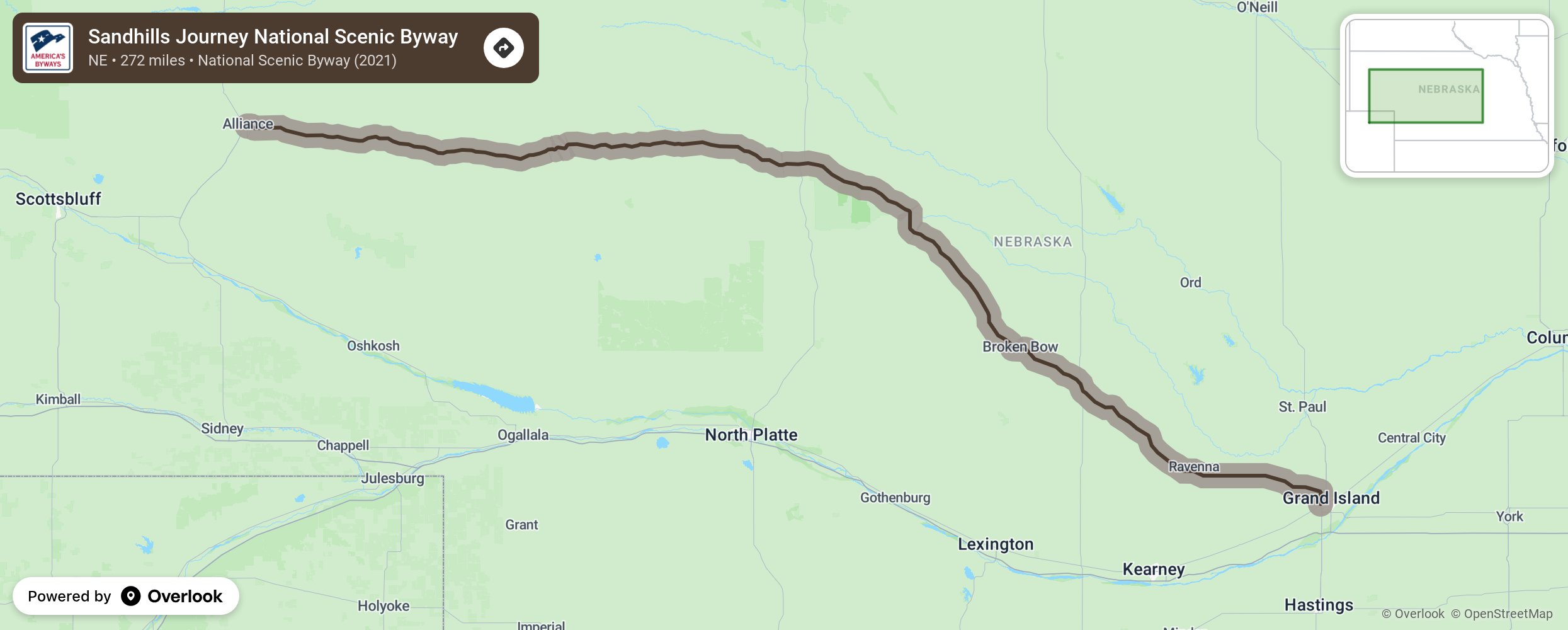
Sandhills Journey National Scenic Byway

Two hundred and seventy-two miles of Nebraska Highway 2, east to west from Grand Island to Alliance, was deemed by the late Charles Kuralt as one of the most scenic roads in America. Between the portals on either end, visitors will find some of the most diversified landscape in Nebraska. In the east, corn and soybeans give way to God's cattle country, the central 20,000 square miles of the Nebraska Sandhills, before again giving way to farm ground of wheat, sugar beets, and potatoes on the far west end of the Byway. The Byway offers 3 Rs - River, Rails and Road, so visitors enjoy 3 Rs of Rejuvenation, Rest and Reconnection with nature. More from National Scenic Byway Foundation →
Embed this map on your site
You are welcome to add this map to your own website for free, as long as you do so using the below code snippet in its entirety.
Please get in touch with us if you have any questions!
      <iframe src="https://overlookmaps.com/byways/ne-sandhills-journey"></iframe>
    <a href="https://overlookmaps.com/">Map courtesy of Overlook Maps</a>