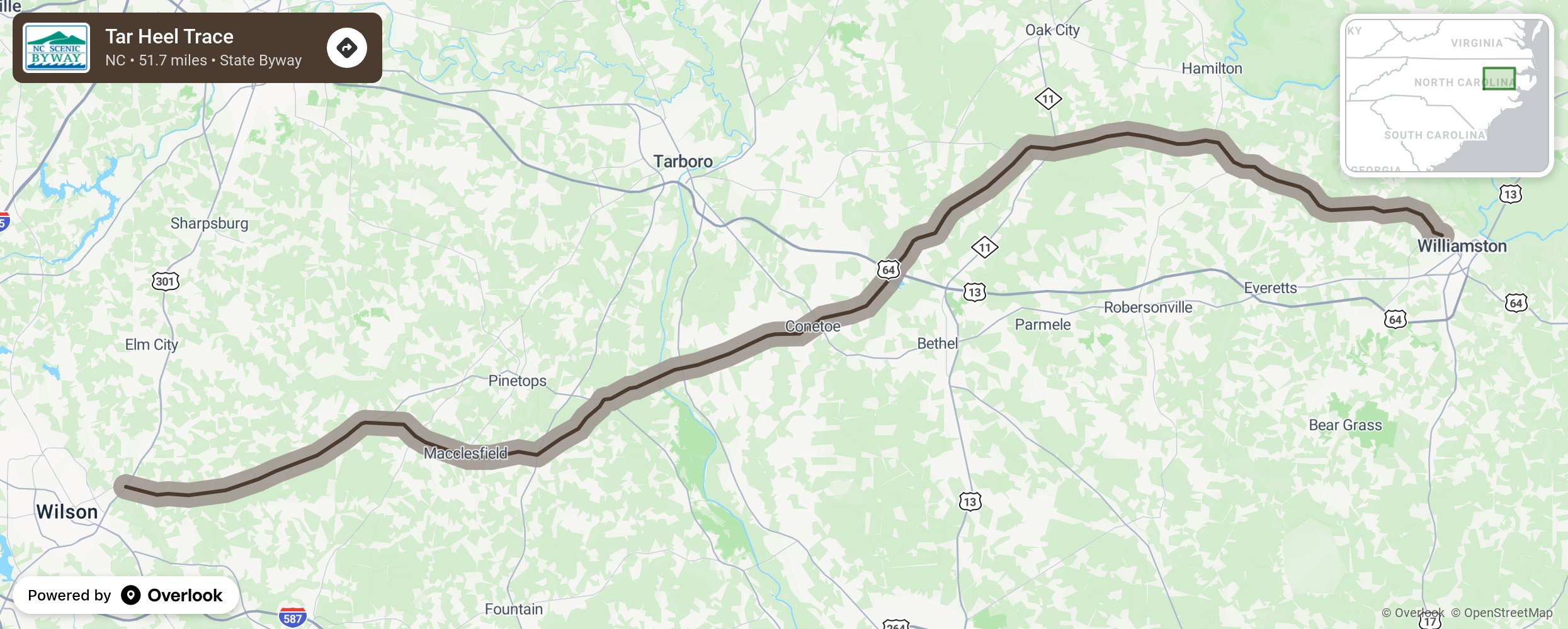
Tar Heel Trace

The Tar Heel Trace byway winds through North Carolina’s Coastal Plain from Wilson to Williamston and takes its name from the pine tar industry that once thrived in this portion of the state. Pine trees are found in great quantities across North Carolina, particularly in the Coastal Plain. About halfway through the route, you will encounter a small town surrounded by vast farmlands of soy bean and peanuts called Conetoe, incorporated in 1887. Don’t let the spelling fool you, the name is pronounced Cuh-knee-ta, named for the nearby Conetoe Creek. Along the eastern portion of the route near Williamston, notice the numerous sheds and silos that store one of the region’s most dominant crops—peanuts. More from National Scenic Byway Foundation →
Embed this map on your site
You are welcome to add this map to your own website for free, as long as you do so using the below code snippet in its entirety.
Please get in touch with us if you have any questions!
      <iframe src="https://overlookmaps.com/byways/nc-tar-heel-trace"></iframe>
    <a href="https://overlookmaps.com/">Map courtesy of Overlook Maps</a>