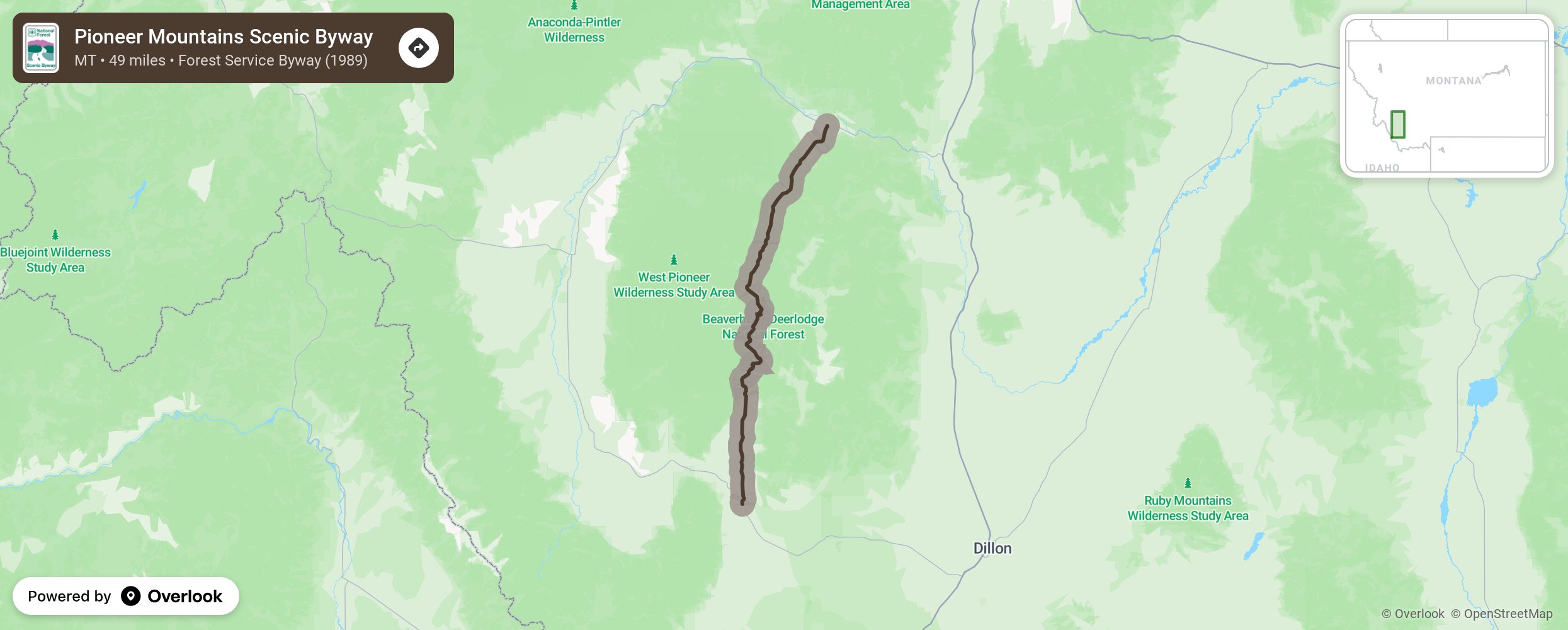
Pioneer Mountains Scenic Byway

The Pioneer Mountains Scenic Byway is located in the Beaverhead-Deerlodge National Forest and travels the length of the Pioneer Mountain Range. The road ascends a 7,800-foot divide between Wise River and Grasshopper Creek. Interpretive sites along the route tell visitors about the history of the mountains, the forest, mountain meadows, broad willow bottoms, and the wildlife that calls the Pioneer Mountains home. Big Hole River is known for its prize trout fishing. Try your luck for brook trout, rainbow trout, and cutthroat trout in the river and side streams or even at the hard-to-get-to higher-elevation lakes. Trails that follow the early trappers, traders, and mountain men are for serious hikers and backpackers only. Save time to visit the ghost town of Coolidge and the abandoned Elkhorn silver mine. Relax in the natural hot pools at Elk Horn Hot Springs. In the winter, enjoy cross-country skiing and downhill skiing. The route is closed in the winter and used as a National Recreation Snowmobile Trail. More from National Scenic Byway Foundation →
Embed this map on your site
You are welcome to add this map to your own website for free, as long as you do so using the below code snippet in its entirety.
Please get in touch with us if you have any questions!
      <iframe src="https://overlookmaps.com/byways/mt-pioneer-mountains-scenic-byway"></iframe>
    <a href="https://overlookmaps.com/">Map courtesy of Overlook Maps</a>