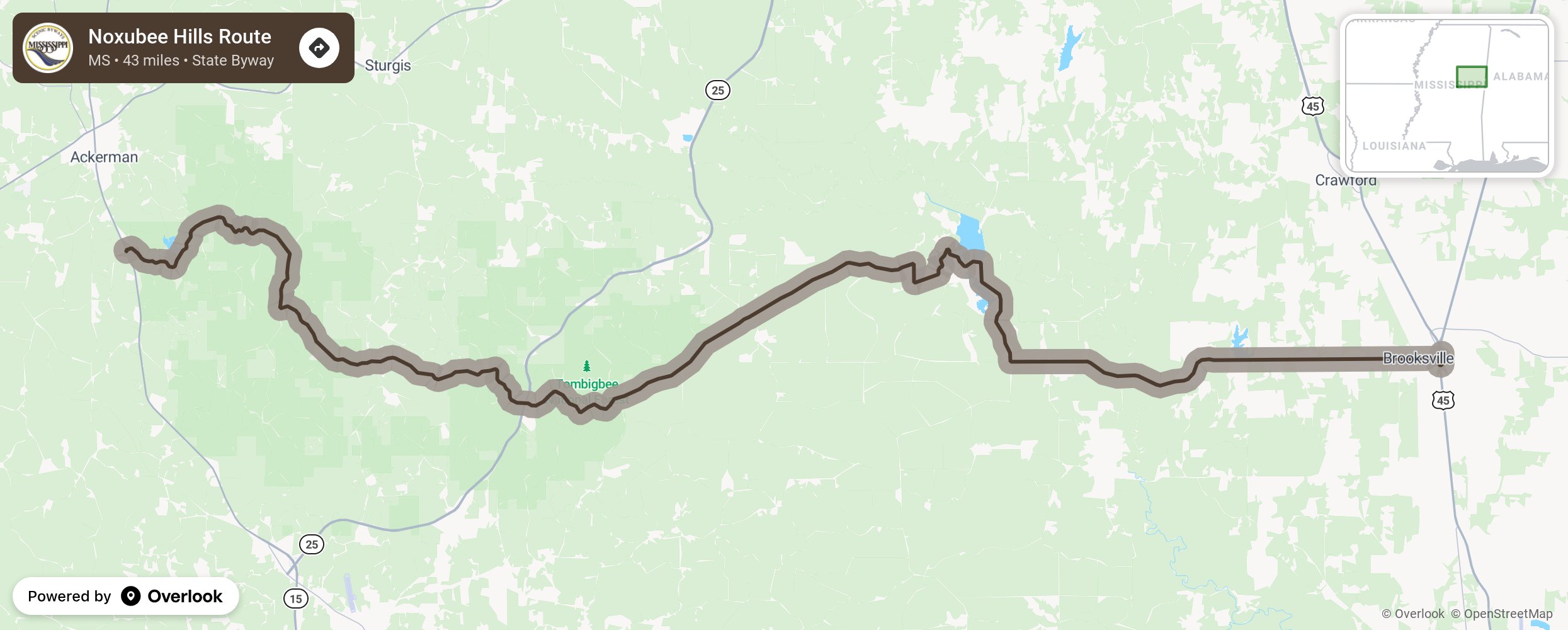
Noxubee Hills Route

The Noxubee Hills Route Scenic Byway is located in the rolling woodlands of central Mississippi, stretching from Choctaw Lake in Choctaw County through the Tombigbee National Forest past Bluff Lake in Noxubee Wildlife Refuge on to Highway 45 in Noxubee County. This byway stretches through Choctaw, Oktibbeha, Winston and Noxubee Counties. The byway is the ultimate in the word scenic with a route filled with history, natural beauty, fishing, hunting and bird watching. It takes you back in time to when artesian wells powered mills for commerce or a look at the first Lutheran church in the state of Mississippi. More from National Scenic Byway Foundation →
Embed this map on your site
You are welcome to add this map to your own website for free, as long as you do so using the below code snippet in its entirety.
Please get in touch with us if you have any questions!
      <iframe src="https://overlookmaps.com/byways/ms-noxubee-hills-route"></iframe>
    <a href="https://overlookmaps.com/">Map courtesy of Overlook Maps</a>