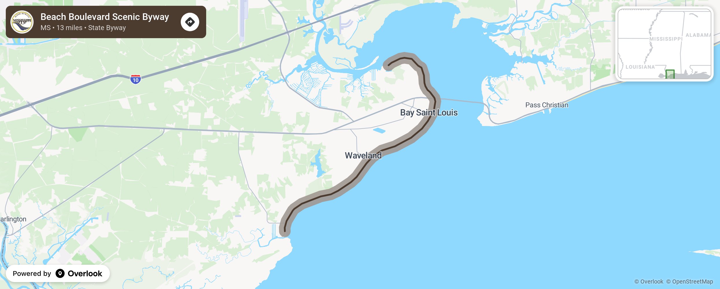
Beach Boulevard Scenic Byway

each Boulevard, formerly known as Old Highway 1, parallels the Hancock County coastline for 13 miles from its northern tip at Cedar Point in Bay St. Louis, crosses U.S. Highway 90, then travels through the National Historic District of Bay St. Louis and the coastal town of Waveland. It ends at the fishing village of Bayou Cadet on its southern end. The byway follows the history of a regional coastal community, from its founding to its various relationships to the waterfront. More from National Scenic Byway Foundation →
Embed this map on your site
You are welcome to add this map to your own website for free, as long as you do so using the below code snippet in its entirety.
Please get in touch with us if you have any questions!
      <iframe src="https://overlookmaps.com/byways/ms-beach-boulevard-scenic-byway"></iframe>
    <a href="https://overlookmaps.com/">Map courtesy of Overlook Maps</a>