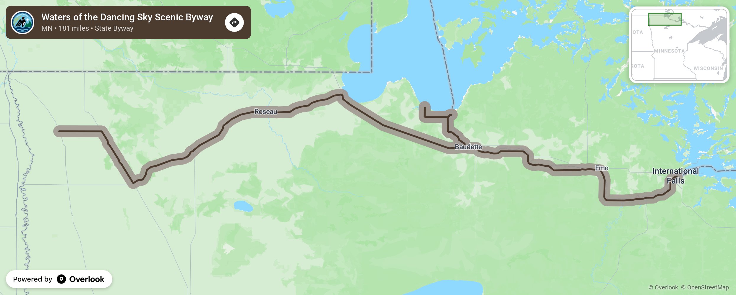
Waters of the Dancing Sky Scenic Byway

As Minnesota’s northernmost scenic byway, this route travels from Voyageurs National Park along the Canadian border. From International Falls to Baudette, the route travels along Rainy River and through fields of lady’s slippers and along the Prairie Birding Trail, just west of Warroad. Zippel Bay State Park has a massive lake with a 3-mile-long beach. This lake and the Rainy River are known for their fishing. The western end of the byway travels north on Highway 59 to Lake Bronson State Park. The “Dancing Sky” refers to the aurora borealis, or northern lights which often appear in the night sky due to its far northern location and absence of bright city lights. More from National Scenic Byway Foundation →
Embed this map on your site
You are welcome to add this map to your own website for free, as long as you do so using the below code snippet in its entirety.
Please get in touch with us if you have any questions!
      <iframe src="https://overlookmaps.com/byways/mn-waters-of-the-dancing-sky-scenic-byway"></iframe>
    <a href="https://overlookmaps.com/">Map courtesy of Overlook Maps</a>