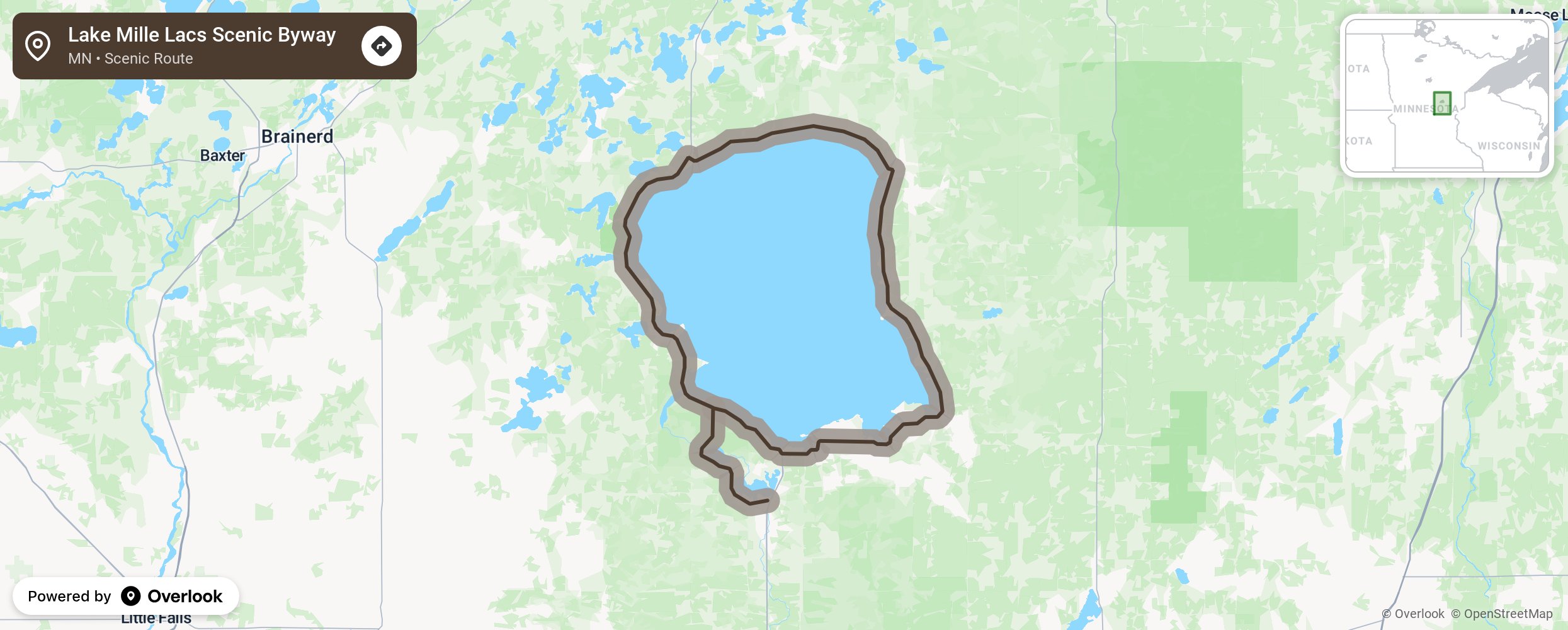
Lake Mille Lacs Scenic Byway

This byway travels around Lake Mille Lac, just 90 miles north of Minneapolis-St Paul and connects the towns of Garrison, Malmo, Isle, Wahkon, and Onamia. The 132,500+-acre lake contains some of Minnesota’s finest fishing. The area was inhabited by early peoples and the Mille Lacs Band of Ojibwe still call it home today. What drew the Ojibwe to the area was the clear water, plentiful fish, abundant wildlife, and wild rice that they harvest yet today. These same features brought other residents who carved out private and family-owned resorts, settled into the communities, and welcome visitor to fish, boat, and swim in Lake Mille Lac. Also visit in the winter for ice fishing, snowmobiling, and kite flying. The frozen lake is like a city with its ice fishing shacks dotting the lake. Year-round enjoy the area’s warm hospitality, breath-taking sunsets, and the Ojibwe’s Grand Casino Mille Lacs. More from National Scenic Byway Foundation →
Embed this map on your site
You are welcome to add this map to your own website for free, as long as you do so using the below code snippet in its entirety.
Please get in touch with us if you have any questions!
      <iframe src="https://overlookmaps.com/byways/mn-lake-mille-lacs-scenic-byway"></iframe>
    <a href="https://overlookmaps.com/">Map courtesy of Overlook Maps</a>