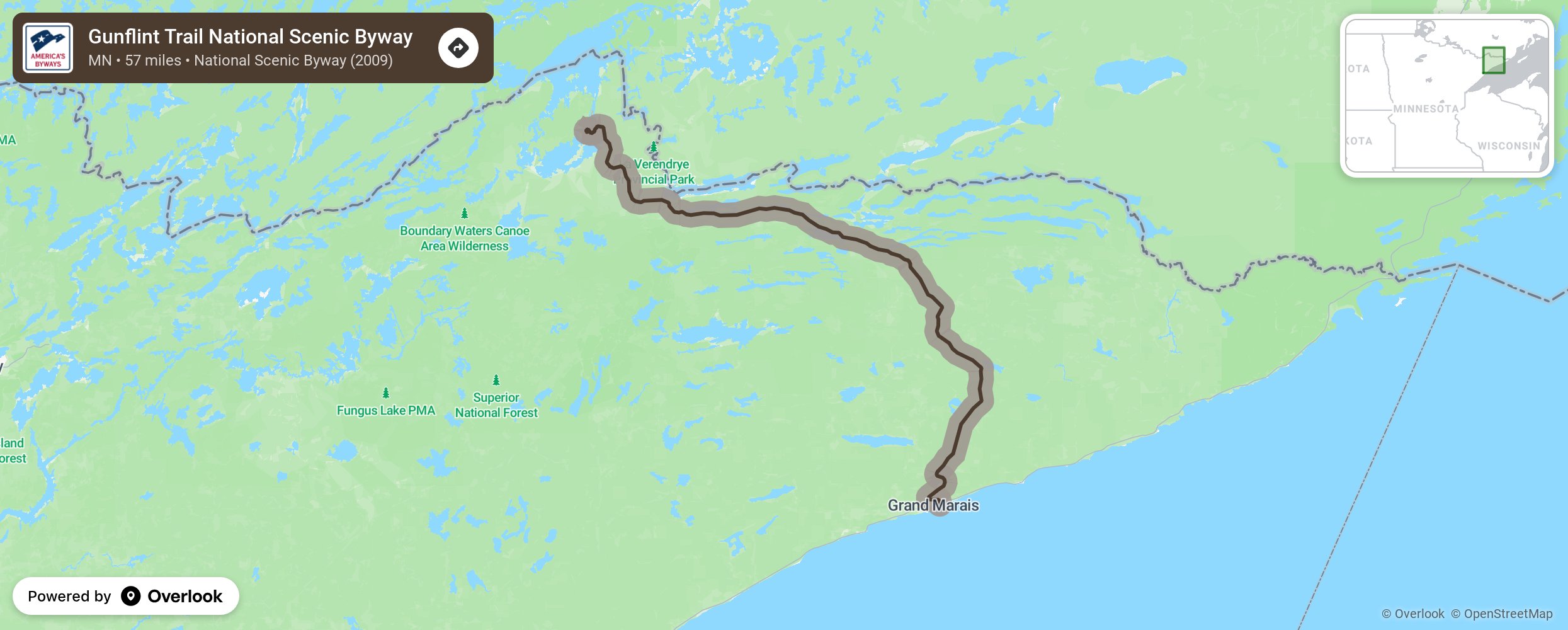
Gunflint Trail National Scenic Byway

The Gunflint Trail Scenic Byway runs approximately 57 miles along the Gunflint Trail from Grand Marais to Trail's End Campground and the Chik-Wauk Museum and Nature Center. Along the way you'll pass through history - the paved road which was originally a trail to a source of flint on Gunflint Lake, pines planted in the 30's by the CCC, a railroad and mine that vanished, signs of a meteor impact a billion or so years ago, and a forest regrowing from a fire in 2007. More from National Scenic Byway Foundation →
Embed this map on your site
You are welcome to add this map to your own website for free, as long as you do so using the below code snippet in its entirety.
Please get in touch with us if you have any questions!
      <iframe src="https://overlookmaps.com/byways/mn-gunflint-trail-scenic-byway"></iframe>
    <a href="https://overlookmaps.com/">Map courtesy of Overlook Maps</a>