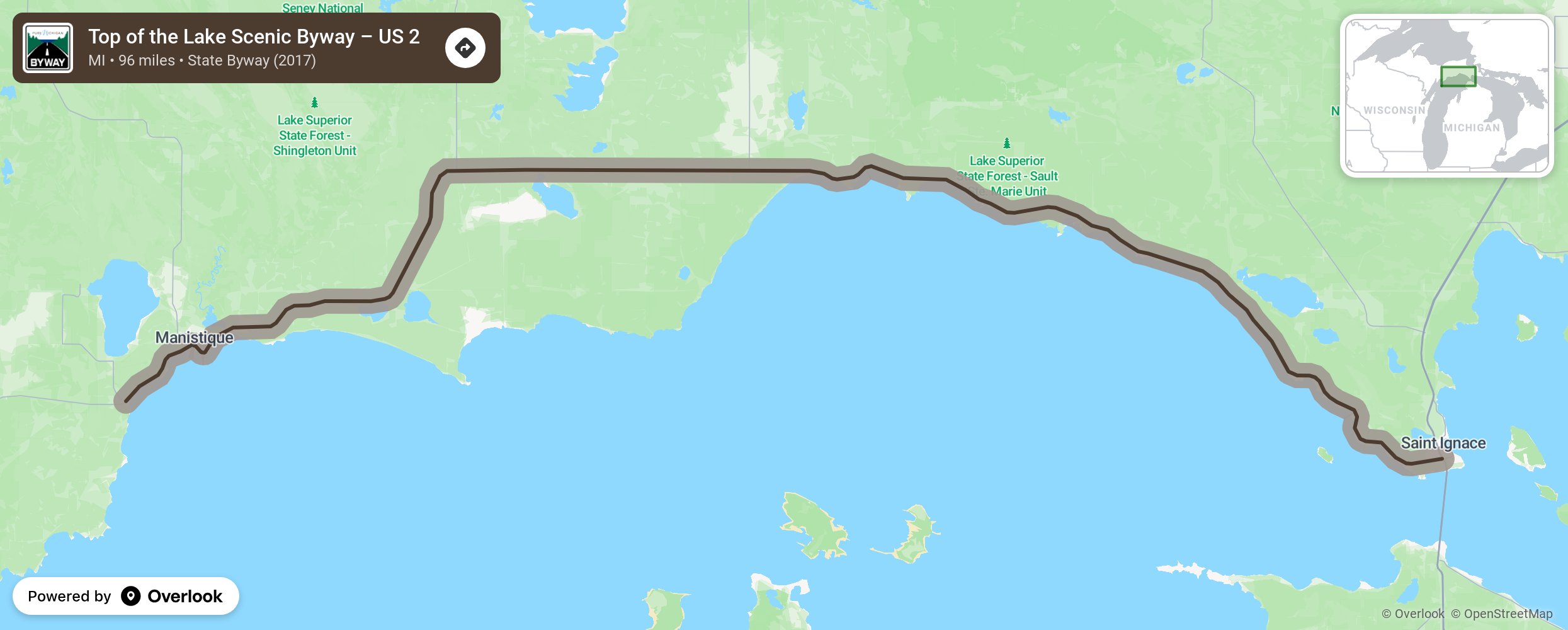
Top of the Lake Scenic Byway – US 2

Travel to the northern most point of Lake Michigan in Western Mackinac County just 45 minutes west of Mackinac Bridge, the 5-mile suspension bridge that connects Michigan’s Upper and Lower Peninsulas. Lake Michigan is to the south and Lake Superior to the north. The town of Naubinway (Ojibway word meaning “Place of Echoes”) is at the very northern tip of Lake Michigan and was first settled by a fur trader in 1843, then by 1890 it became a booming lumber town and important commercial fishing port. Tourists today are treated to Big Knob, a State Forest property, with secluded rustic campsites, sandy Lake Michigan Beach, hiking trails and wildlife. Experience the Toonerville Trolley, an authentic narrow-gauge railroad for 5 ½ mile ride through thick forest to the Tahquamenon River and a 21 mile cruise to the rapids. The Upper Tahquamenon Falls is the second largest falls east of the Mississippi, just behind Niagara. Stop at the onsite restaurant and brew pub and then check out the Tahquamenon Logging Museum. Watch the boats as they travel through the Soo Locks as they navigate the difference in depths between Lakes Superior and Huron. Maybe take your own boat ride through the locks! Make time for the GarLyn Zoo and the Great Lakes Shipwreck Museum with a special tribute to the Edmund Fitzgerald, a freighter that was lost in a November 1975 Lake Superior storm. Boating, hiking, fishing, camping, snowmobiling-the area has something for you no matter the season. More from National Scenic Byway Foundation →
Embed this map on your site
You are welcome to add this map to your own website for free, as long as you do so using the below code snippet in its entirety.
Please get in touch with us if you have any questions!
      <iframe src="https://overlookmaps.com/byways/mi-top-of-the-lake-scenic-byway-us-2"></iframe>
    <a href="https://overlookmaps.com/">Map courtesy of Overlook Maps</a>