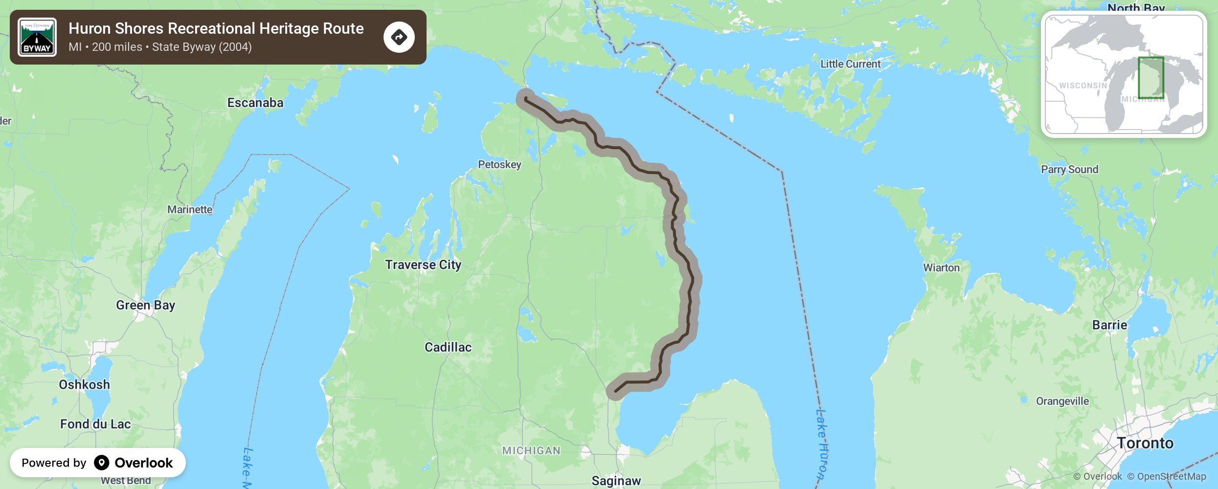
Huron Shores Recreational Heritage Route

Originally called the Sunrise Side Coastal Highway, this renamed route offers spectacular views of Lake Huron as it travels from Standish to Mackinaw City. And connects 10 communities at it hugs the Lake Huron coast. Many tracts of publicly owned land give the traveler, as well as residents, free and accessible areas of the Lake Huron shoreline. Enjoy the forests, parks such as the Negwegon State Park, Thompson’s Harbor Sate Park, and the Thunder Bay River State Forest. Recreational opportunities abound for camping, fishing, and hiking. With over 150 historic sites and arts/cultural venues, there is something to visit at every turn. Stop at any or all of the 17 lighthouses, 8 wineries, many breweries, and casinos along the way More from National Scenic Byway Foundation →
Embed this map on your site
You are welcome to add this map to your own website for free, as long as you do so using the below code snippet in its entirety.
Please get in touch with us if you have any questions!
      <iframe src="https://overlookmaps.com/byways/mi-huron-shores-recreational-heritage-route"></iframe>
    <a href="https://overlookmaps.com/">Map courtesy of Overlook Maps</a>