Old Canada Road National Scenic Byway

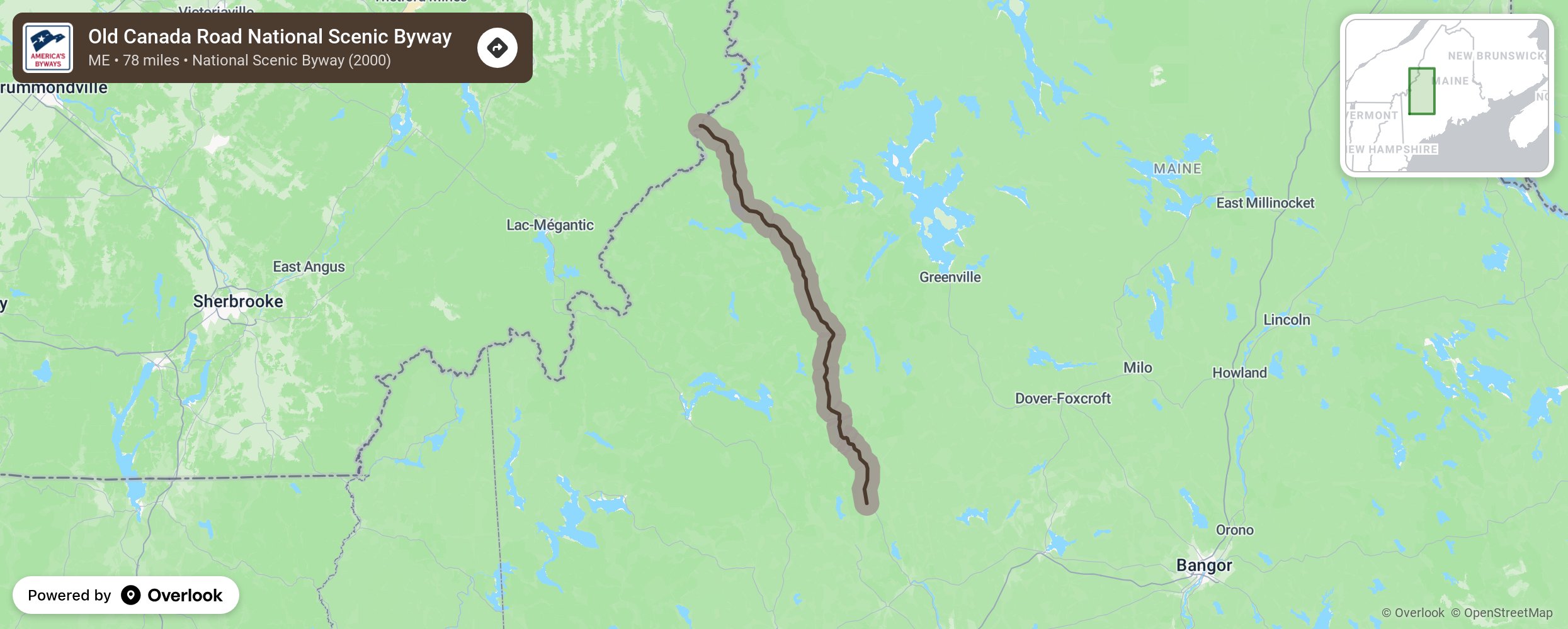
Seeking adventure? Relaxation? To connect with history? Whether you venture a few minutes or a few miles from your vehicle, the Old Canada Road National Scenic Byway provides an opportunity for all of these experiences. Fondly known as the Old Canada Road or OCR, this 78-mile (126 km) long byway begins at the Robbins Hill Scenic Overlook in Solon, Maine on Route 201 and ends at the Canadian border above Jackman, Maine in Sandy Bay Township. Visitors can extend any of these experiences along the Kennebec River and its surrounding mountains and towns. More from National Scenic Byway Foundation →
Embed this map on your site
You are welcome to add this map to your own website for free, as long as you do so using the below code snippet in its entirety.
Please get in touch with us if you have any questions!
      <iframe src="https://overlookmaps.com/byways/me-old-canada-road-scenic-byway"></iframe>
    <a href="https://overlookmaps.com/">Map courtesy of Overlook Maps</a>