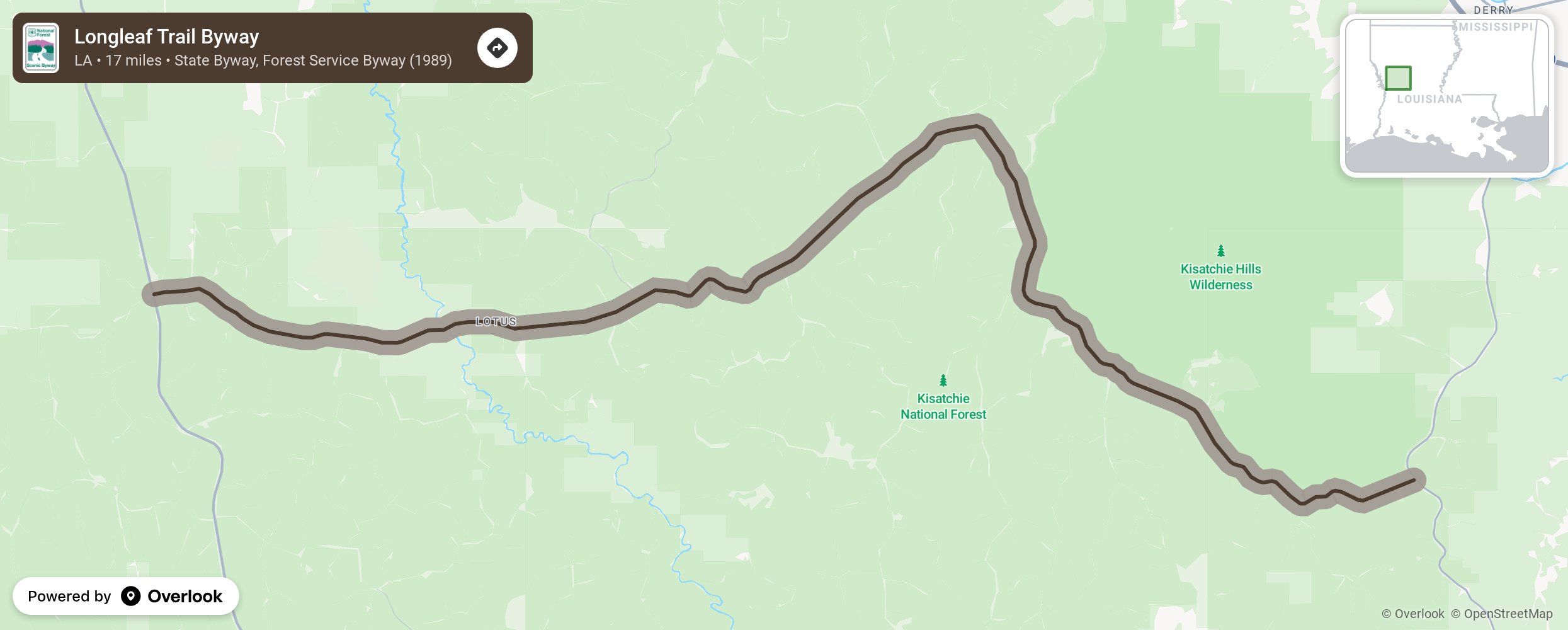
Nestled within the Kisatchie National Forest in central Louisiana, the Longleaf Trail Byway covers some of the most varied terrain in the state. Elevations range from 80 feet to 400 feet above sea level, and the topography is rugged by Louisiana standards.
More from National Scenic Byway Foundation →
Embed this map on your site
You are welcome to add this map to your own website for free, as long as you do so using the below code snippet in its entirety.