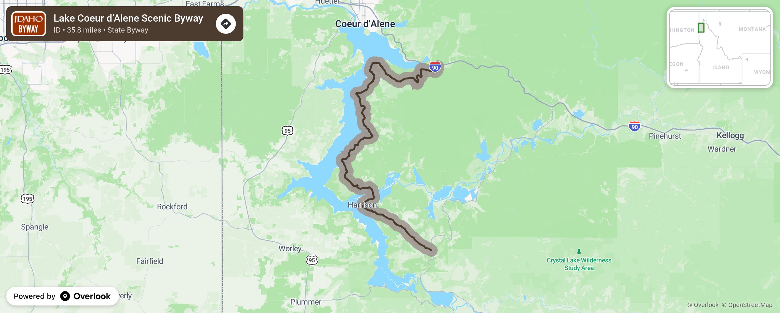
Lake Coeur d’Alene Scenic Byway

Take this two-lane winding road as it traverses the northern Idaho countryside. Wildlife viewing can be done year-round, but especially in December and January when eagles are known to be between Wolf Lodge Bay and Beauty Bay. If you visit in the fall, you are in for a treat with the changing leaves along the lake. Be sure to visit Lake Coeur d’Alene, Mineral Ridge at Beauty Bay, Historic Harrison, Thompson Lake Wildlife Refuge, and the Trail of the Coeur d’Alenes (a 73-mile asphalt trail created from an abandoned Union Pacific rail bed.). Allow plenty of time to enjoy camping, boating, fishing, bird watching, cycling, or for taking side trips. This byway begins at the intersection of Interstate 90 and Idaho 97 then follows Idaho 97 to the south and east along Lake Coeur d’Alene to Idaho 3. The name Coeur d'Alene means “heart of the awl” (an awl is a tool used to pierce leather) and is the name French-Canadian fur traders gave to the Native American tribe who still live in the area. More from National Scenic Byway Foundation →
Embed this map on your site
You are welcome to add this map to your own website for free, as long as you do so using the below code snippet in its entirety.
Please get in touch with us if you have any questions!
      <iframe src="https://overlookmaps.com/byways/id-lake-coeur-d-alene-scenic-byway"></iframe>
    <a href="https://overlookmaps.com/">Map courtesy of Overlook Maps</a>