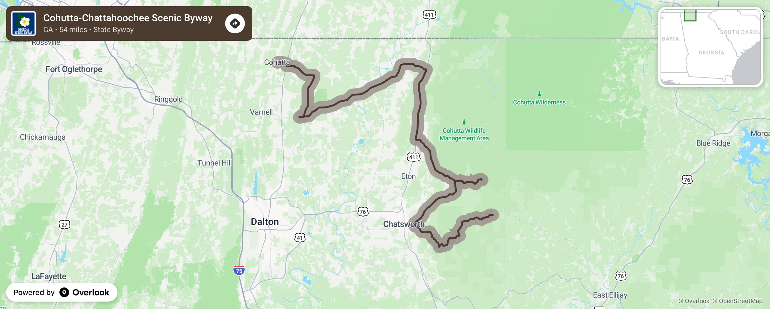
Cohutta-Chattahoochee Scenic Byway

Cohutta-Chattahoochee Scenic Byway follows State Route 2 and US 41 as it travels from the historic Prater’s Mill, past the Cohutta Mountains. and into the Chattahoochee National Forest. Then the byway takes State Route 52 past the Fort Mountain State Park and ends at a sweeping mountaintop overlook. Spurs off the route lead the visitor to the Cohutta Fish Hatchery and to a Forest Service campsite along Holly Creek. Bring your camping gear and camera! More from National Scenic Byway Foundation →
Embed this map on your site
You are welcome to add this map to your own website for free, as long as you do so using the below code snippet in its entirety.
Please get in touch with us if you have any questions!
      <iframe src="https://overlookmaps.com/byways/ga-cohutta-chattahoochee-scenic-byway"></iframe>
    <a href="https://overlookmaps.com/">Map courtesy of Overlook Maps</a>