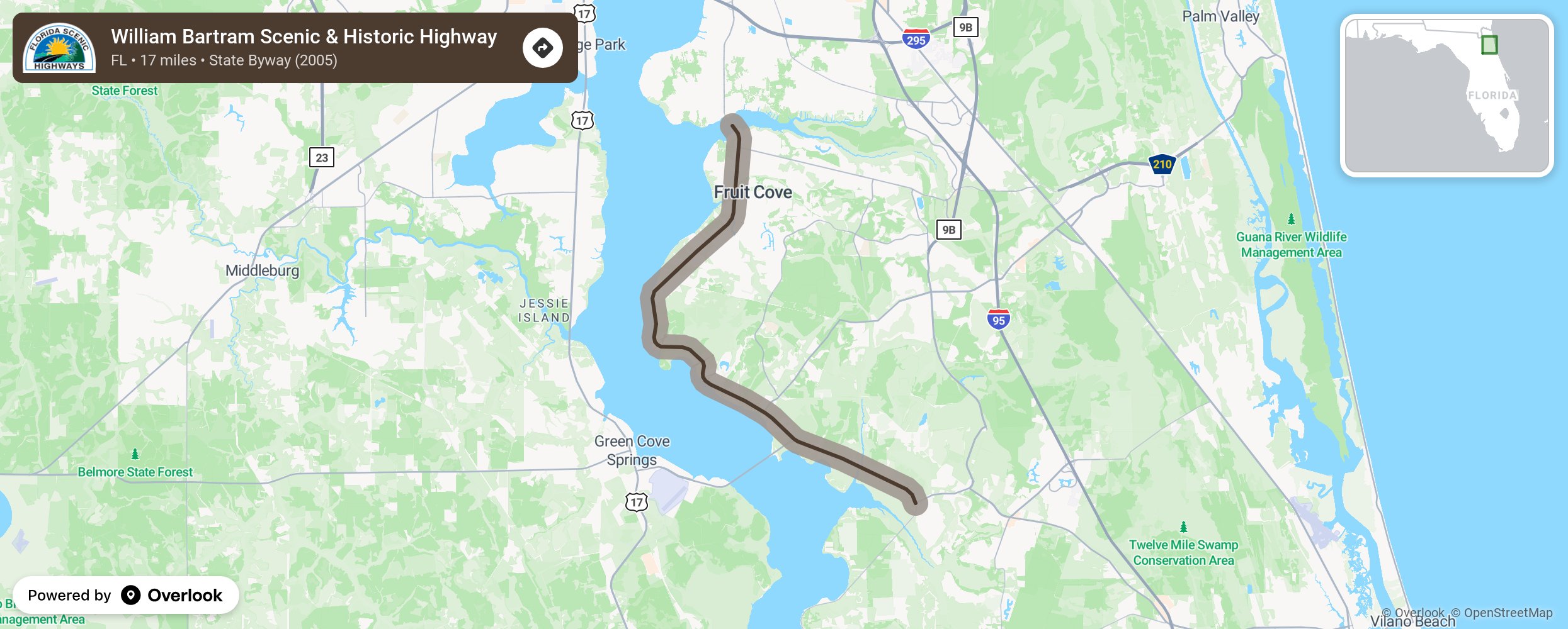
William Bartram Scenic & Historic Highway

This byway tells the story of the first Native Americans of the region, the European pioneers, and renowned naturalist William Bartram, who attempted to establish a plantation on the banks of the St. Johns River. Bartram wrote the first “tour guide” to Florida in the late 1700s. His book Travels details his experiences journeying through and documenting the southeastern U.S. in the 1760s. The poetic writing and stunning illustrations of Travels captivated readers imaginations across Europe and helped introduce the world to the charms of Florida. Today the route (State Route 13) winds its way along the St. Johns River through pine and palmetto barrens, oak hammocks and swamps, often canopied with trees. It stretches from the Julington Creek Bridge at the St. Johns County line south for about 17 miles to Ward’s Creek. The roadway is in the northeast part of the state, south of Jacksonville. Wide trails parallel the highway from one end to the other, and numerous parks and cultural destinations along the corridor are accessible and welcoming for modern nature-lovers. More from National Scenic Byway Foundation →
Embed this map on your site
You are welcome to add this map to your own website for free, as long as you do so using the below code snippet in its entirety.
Please get in touch with us if you have any questions!
      <iframe src="https://overlookmaps.com/byways/fl-william-bartram-scenic-and-historic-trail"></iframe>
    <a href="https://overlookmaps.com/">Map courtesy of Overlook Maps</a>