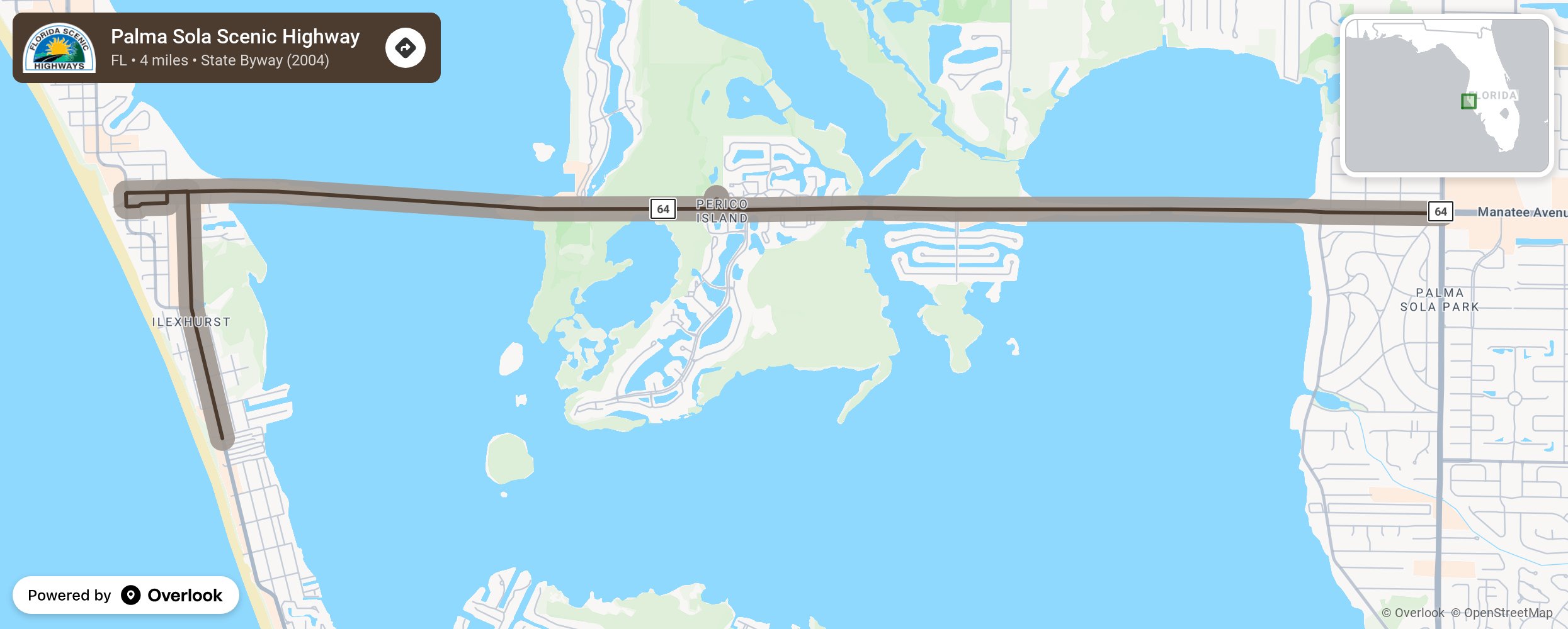
Palma Sola Scenic Highway

“Palma Sola” means “Solitary Palm,” and the solitary palm referred to is an old palm standing near the beach at Holmes Beach on Anna Maria Island. Sailors have searched the horizon for that palm on Anna Maria Island for many years, using it to guide themselves into Anna Maria Sound and Palma Sola Bay. The scenic route leads to Anna Maria Island crossing over Palma Sola Bay and the inland waterway. This byway connects the mainland with the barrier island. It connects with the Bradenton Beach Scenic Highway to the south and is a beautifully maintained drive with numerous recreational areas landscaped with native vegetation. The corridor has a park-like feel with enhanced picnic areas, restrooms, and many amenities. It’s easy for travelers to enjoy water sports such as fishing, sailing, water skiing, and jet skiing along the entire causeway. The beaches are well maintained and provide the ideal environment for relaxing, enjoying the sun, or pitching some horseshoes. The Palma Sola Scenic Highway is a great leisure drive for the whole family. More from National Scenic Byway Foundation →
Embed this map on your site
You are welcome to add this map to your own website for free, as long as you do so using the below code snippet in its entirety.
Please get in touch with us if you have any questions!
      <iframe src="https://overlookmaps.com/byways/fl-palma-sola-scenic-highway"></iframe>
    <a href="https://overlookmaps.com/">Map courtesy of Overlook Maps</a>