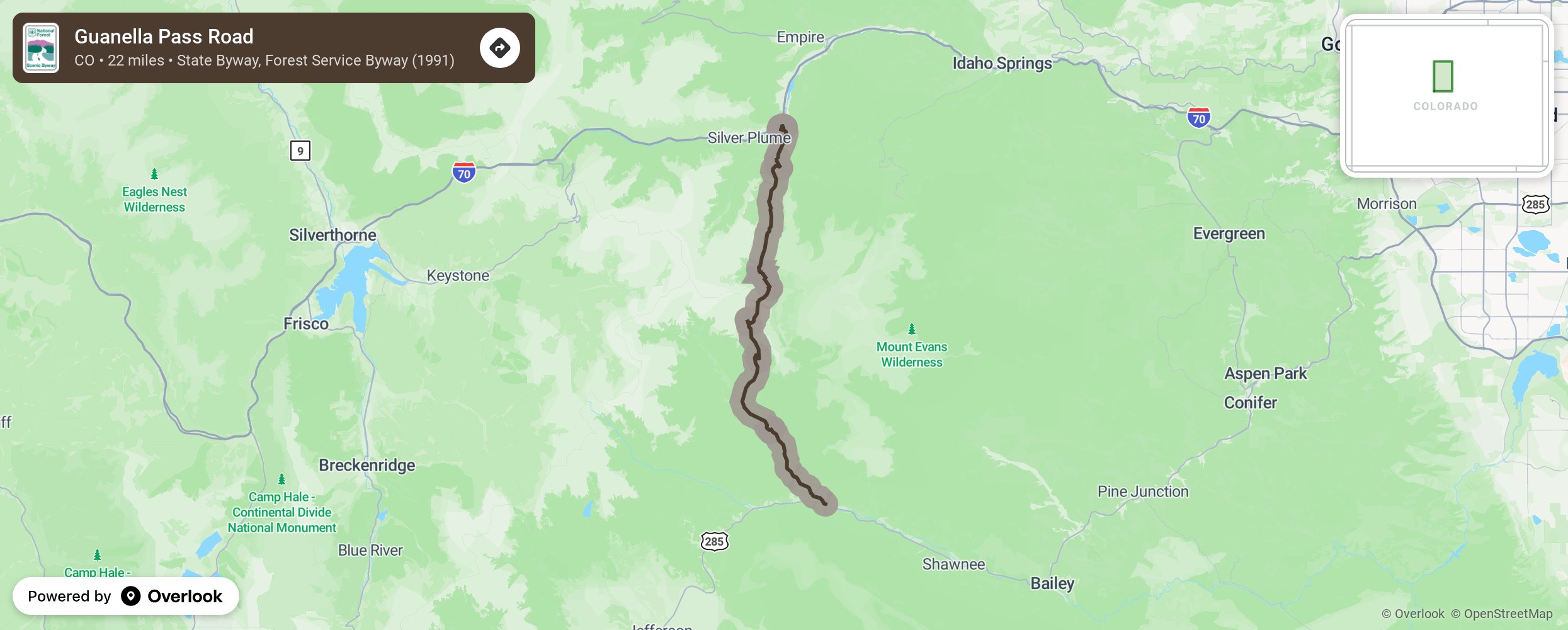
Guanella Pass Road

Due it it’s close proximity to the Mile High City, Denverites can gain easy access to a beautiful high-altitude wilderness. The area around the byway was once used for logging and mining, using the byway’s route as a wagon trail for traveling between Georgetown and Grant. Gold lured miners and others to the area, but it was silver that brought prosperity to the valley. Here also find Georgetown and Silver Plume, two of the state’s best-preserved Victorian towns, forming the Georgetown-Silver Plume National Historic Landmark District. More from National Scenic Byway Foundation →
Embed this map on your site
You are welcome to add this map to your own website for free, as long as you do so using the below code snippet in its entirety.
Please get in touch with us if you have any questions!
      <iframe src="https://overlookmaps.com/byways/co-guanella-pass-road"></iframe>
    <a href="https://overlookmaps.com/">Map courtesy of Overlook Maps</a>