Scenic routes
›
California
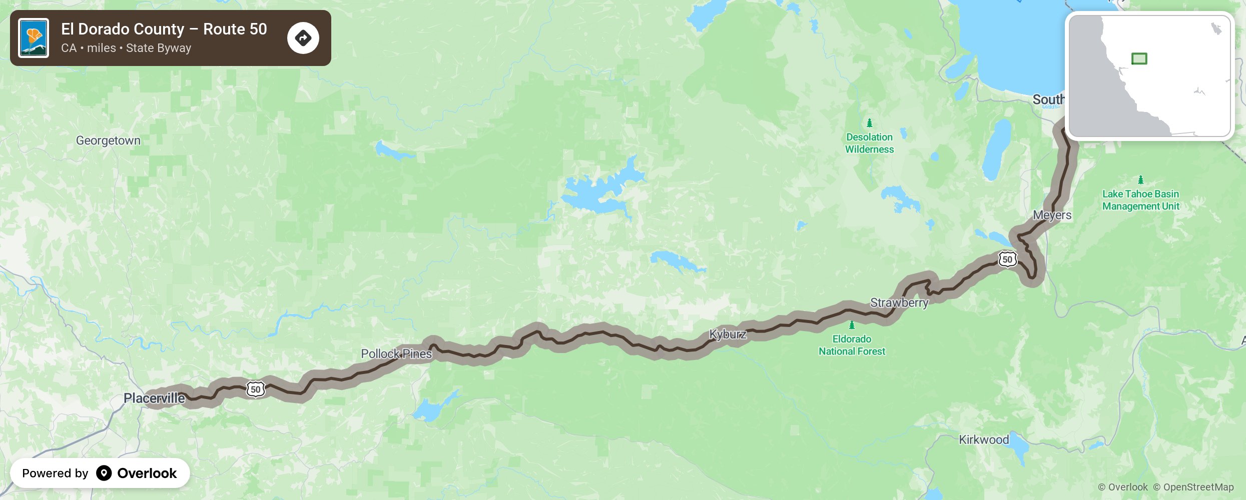
El Dorado County – Route 50

This scenic highway runs from the American River Canyon, over the granite peaks of Echo Summit; then descends into the Tahoe Valley. More from National Scenic Byway Foundation →
Embed this map on your site
You are welcome to add this map to your own website for free, as long as you do so using the below code snippet in its entirety.
Please get in touch with us if you have any questions!
      <iframe src="https://overlookmaps.com/byways/ca-route-50-el-dorado-county"></iframe>
    <a href="https://overlookmaps.com/">Map courtesy of Overlook Maps</a>