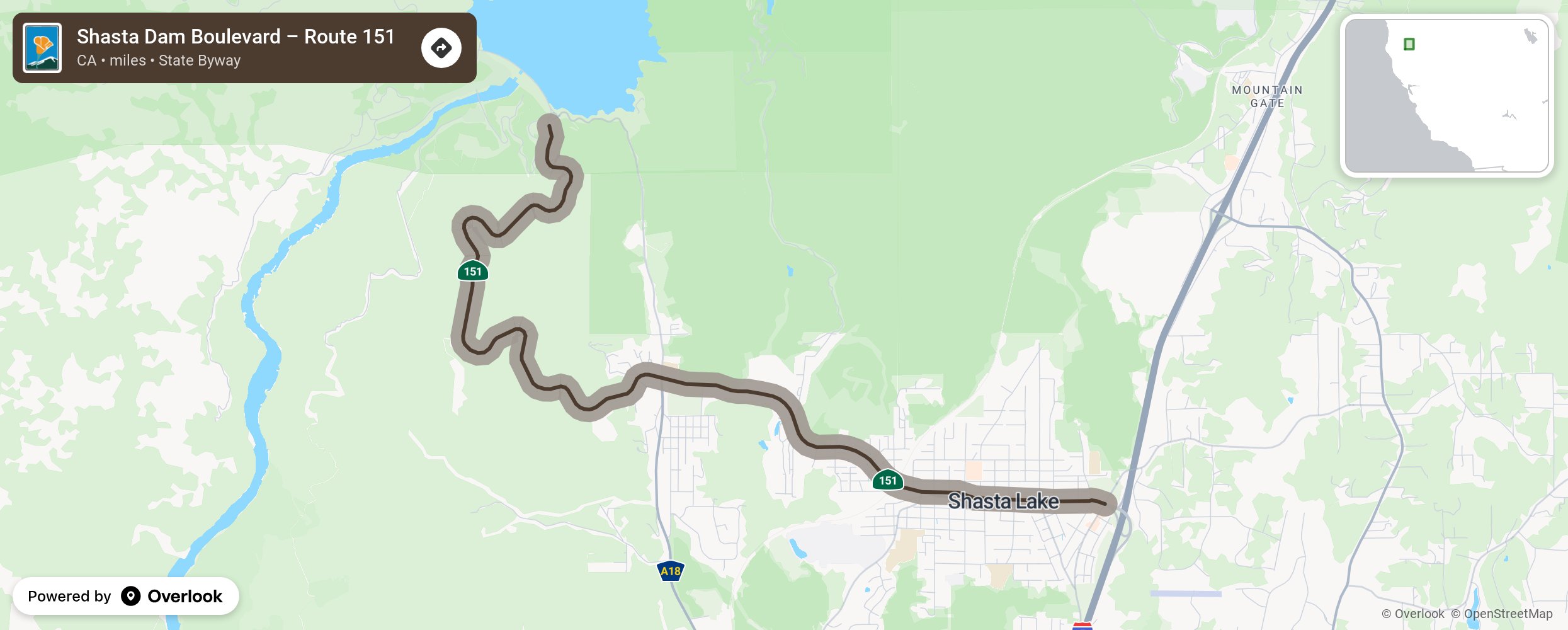
Located between Shasta Dam and Summit City, this State Scenic Highway, which curves along the slope of a ridge, provides views of the Sacramento River, Shasta Lake and distant hills.
More from National Scenic Byway Foundation →
Embed this map on your site
You are welcome to add this map to your own website for free, as long as you do so using the below code snippet in its entirety.