Emigrant Trail

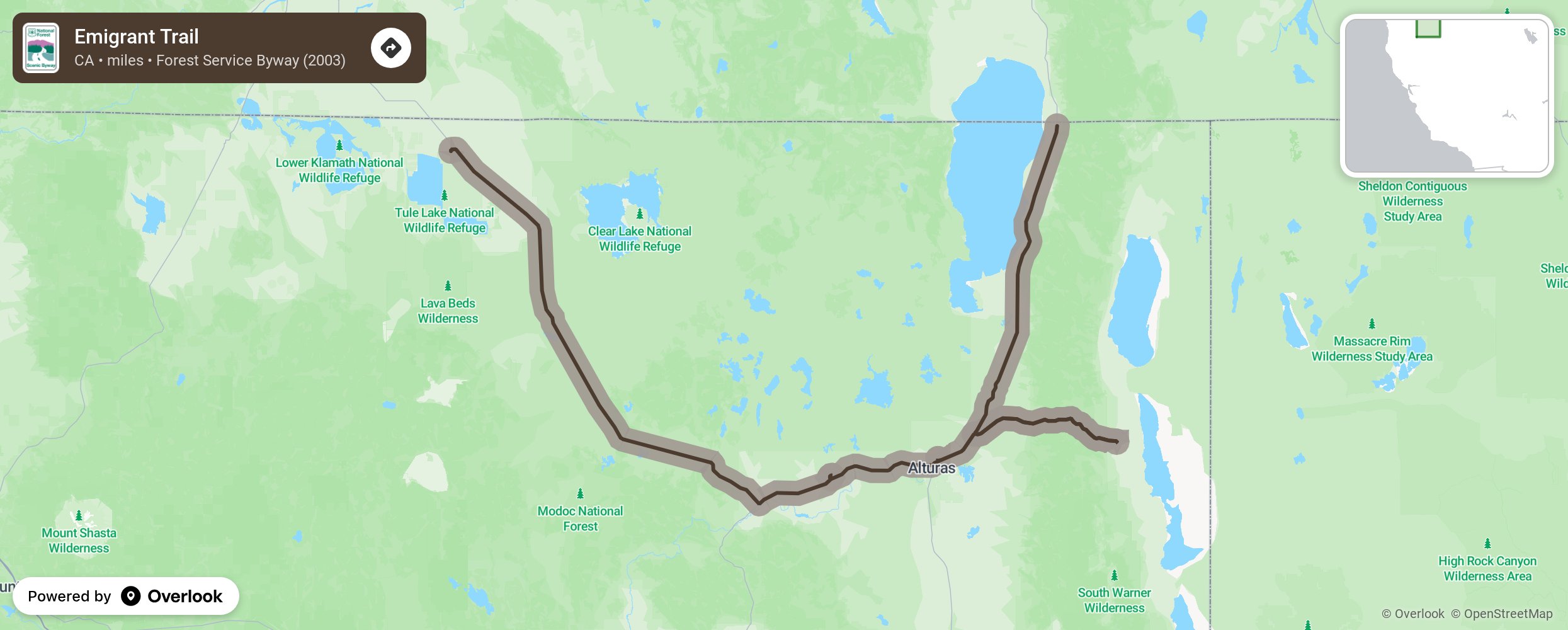
The Emigrant Trail is a byway of connections. The route connects several Oregon and California byways with secluded forest roads. Diverse landscapes unfold around every corner, acting as a segue between beautiful landscapes and fun-filled recreation areas. Finally, find connections to the past by finding actual remnants of emigrant trails along the route.
Beginning in New Pine Creek, Oregon, the trail comprises the route connecting the Outback Scenic Byway and Volcanic Legacy Scenic Byway in Oregon and Modoc Scenic Byway and Shasta Volcanic Scenic Byway in California. This culturally significant route offers connections to recreation and wilderness areas in beautiful northern California. Impressive mountain peaks, deep canyons, lava flows from volcanic eruptions, and wide-open meadows will challenge what you once knew about California.
The beginning of the route bypasses Goose Lake, a shallow lake that presents both beautiful views and full-service campsites. The lake is a favorite spot for migratory waterfowl, a birdwatcher's paradise. Plan a picnic or camping adventure at this site.
Continue south on Route 299 until the byway branches east at the XL Indian Reservation to Cedarville. Stop here for a meal, hotel stay, or shopping. Head back to Route 299 and continue south to Alturas, admiring the stunning expansive views along the way. The byway curves along Route 299 to Route 139 through the Modoc Forest for most of the drive. The opportunities for camping, hiking, picnicking and other activities meet you at every curve.
End this byway journey at the town of Tulelake, where the byway connects to Modoc Volcanic Scenic Byway and Shasta Volcanic Scenic Byway.
More from National Scenic Byway Foundation →Embed this map on your site
You are welcome to add this map to your own website for free, as long as you do so using the below code snippet in its entirety.
Please get in touch with us if you have any questions!
      <iframe src="https://overlookmaps.com/byways/ca-emigrant-trail"></iframe>
    <a href="https://overlookmaps.com/">Map courtesy of Overlook Maps</a>