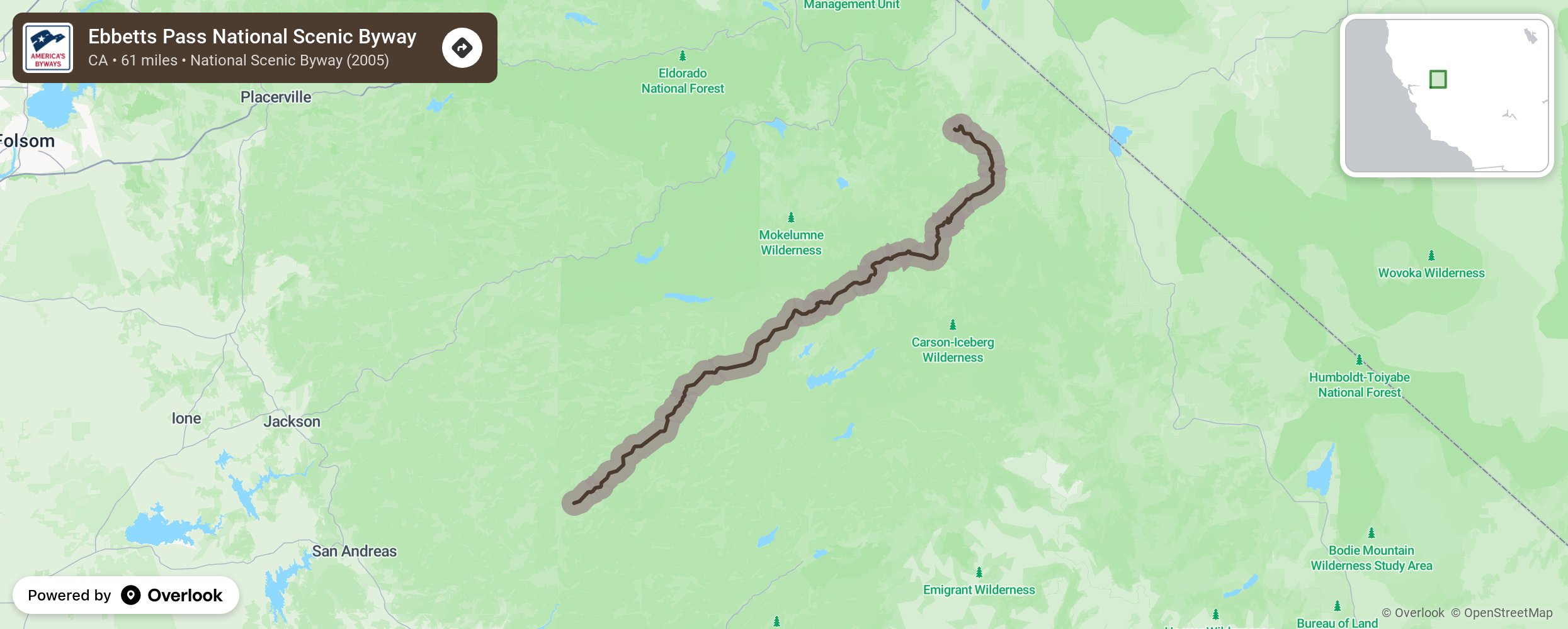
Welcome to one of the most intimate and untamed trans-Sierra routes — the Ebbetts Pass National Scenic Byway. Jutting up from the heart of the Sierra Nevada with Lake Tahoe and Yosemite National Park as its neighbors, the byway is a 61-mile stretch of Highways 4 and 89, in between the towns of Arnold in Calaveras County and Markleeville in Alpine County, California.
More from National Scenic Byway Foundation →
Embed this map on your site
You are welcome to add this map to your own website for free, as long as you do so using the below code snippet in its entirety.