Sky Island Parkway National Scenic Byway (Catalina Highway)
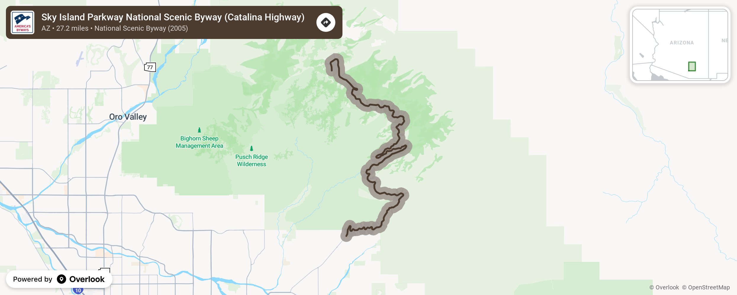
The journey starts among giant saguaro cacti of the Sonoran Desert and climb to shady conifer forests at nearly 9,000 ft., passing biological diversity equivalent to a drive from Mexico to Canada in just 27 miles. Spectacular views and recreational opportunities abound -from hiking and camping, to picnicking and skiing.
More from National Scenic Byway Foundation →
Embed this map on your site
You are welcome to add this map to your own website for free, as long as you do so using the below code snippet in its entirety.