Naat’tsis’aan-Navajo Mountain Scenic Road

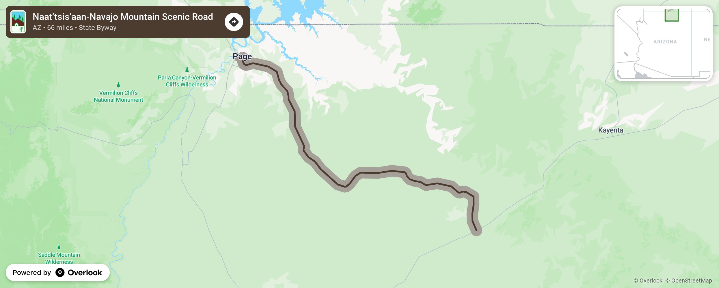
From Cow Springs to Glen Canyon National Recreation Area, travel north/northwesterly on State Route 98 past Hidden White Mesa Arch, the community of Kaibito, past Antelope Canyon, Rattlesnake Canyon, Owl Canyon, to the community of Page, Lake Powell, and the Glen Canyon National Recreation Area. Enjoy the rock formations along the way such as Square Butte. More from National Scenic Byway Foundation →
Embed this map on your site
You are welcome to add this map to your own website for free, as long as you do so using the below code snippet in its entirety.
Please get in touch with us if you have any questions!
      <iframe src="https://overlookmaps.com/byways/az-naat-tsis-aan-navajo-mountain-scenic-road"></iframe>
    <a href="https://overlookmaps.com/">Map courtesy of Overlook Maps</a>