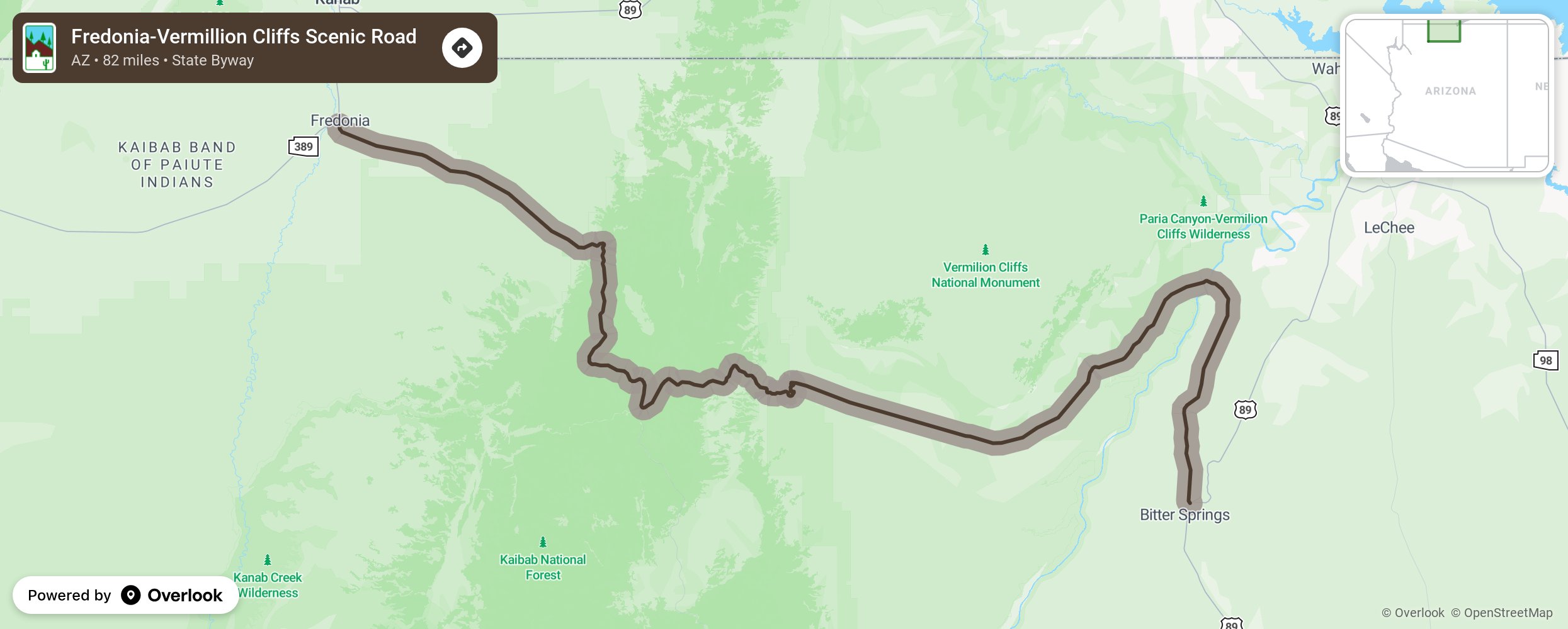
Fredonia-Vermillion Cliffs Scenic Road

This byway follows State Route 89A as it splits from State Route 89 at Bitter Springs, heads north before turning and taking a southwesterly direction. To the north of Marble Canyon is the Vermillion Cliffs National Monument with its layers of red rock displaying clear stratifications and Lees Ferry Historic Site with river rafting opportunities. Visit the Navajo Historic Bridge and Interpretive Center as you cross the Colorado River. The House Rock Valley is to the south. Continue on State Route 89A as you travel through a portion of the Kaibab National Forest and arrive at Fredonia. More from National Scenic Byway Foundation →
Embed this map on your site
You are welcome to add this map to your own website for free, as long as you do so using the below code snippet in its entirety.
Please get in touch with us if you have any questions!
      <iframe src="https://overlookmaps.com/byways/az-fredonia-vermillion-cliffs-scenic-road"></iframe>
    <a href="https://overlookmaps.com/">Map courtesy of Overlook Maps</a>