Black Warrior River Scenic Byway

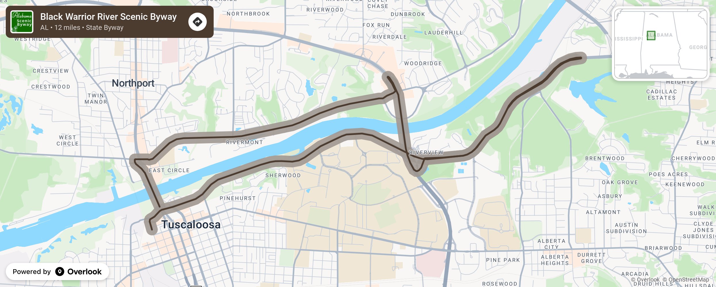
This urban route encircles approximately 12 miles along the Black Warrior River. Three bridges along the route offer breathtaking views of the river and its riverbanks. The route spotlights the boundless natural scenic beauty of the Black Warrior River and exhibits historic ruins, structures and markers including the site of the Alabama State Capitol from 1826 until 1847. Bicycle and pedestrian trails, parks, picnic facilities, fishing piers, boat landings, historic markers, and restaurants as well as sites for new development align the route. Bordering the route are the historic downtown areas of Tuscaloosa and Northport and facilities of academic and athletic renown including the University of Alabama and Stillman College. Enlightening sites listed on the National Register of Historic Places are in abundance nearby and along the route. More from National Scenic Byway Foundation →
Embed this map on your site
You are welcome to add this map to your own website for free, as long as you do so using the below code snippet in its entirety.
Please get in touch with us if you have any questions!
      <iframe src="https://overlookmaps.com/byways/al-black-warrior-river-scenic-byway"></iframe>
    <a href="https://overlookmaps.com/">Map courtesy of Overlook Maps</a>