The Appalachian Highlands Scenic Byway

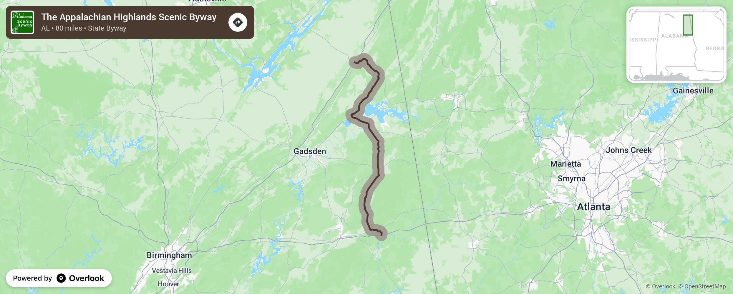
The Appalachian Highlands Scenic Byway passes through some of the most scenic areas of the State of Alabama. The natural beauty of the Appalachian Mountains provides a scenic backdrop for travelers on the byway as the route winds along lush vegetation, interesting geologic formations and quaint historic rural communities. Approximately 80 miles in length, the Appalachian Highlands Scenic Byway is located in the northeastern part of the state. It traverses through portions of Cleburne, Calhoun, Cherokee and DeKalb Counties, connecting Interstate 20 near Heflin with Interstate 59 at Fort Payne. More from National Scenic Byway Foundation →
Embed this map on your site
You are welcome to add this map to your own website for free, as long as you do so using the below code snippet in its entirety.
Please get in touch with us if you have any questions!
      <iframe src="https://overlookmaps.com/byways/al-appalachian-highlands-scenic-byway"></iframe>
    <a href="https://overlookmaps.com/">Map courtesy of Overlook Maps</a>